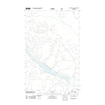
2011 Map of Thompson Lakes
USGS Topo · Published 2011About this map
Lower Thompson Lake and its northern counterpart, Upper Thompson Lake, dominate the geography of this Flathead County quadrangle. The map details a landscape shaped by timber and recreation, where Plum Cr Timber County Rd and numerous Forest Service routes like NFD 257 Rd wind through the mountainous terrain surrounding Bowers Peak. Along the shoreline, Logan Park Campground serves as a primary point of access, while smaller water bodies like Rainbow Lake, Eli Lake, and Lost Lake are tucked into the high elevations. The southern portion of the sheet reveals the headwaters of the Thompson River, fed by a network of drainages including Boiling Springs Creek and Tornilla Creek. The inclusion of the Campbell Ranch Airport in the southeast corner points to the area's ongoing blend of private land use and vast public forest management.
Find a feature on this map
29 named features on this map. Tap any name to fly to it.
Don’t see what you’re looking for? This feature index may not catch every label — zoom into the map to look around manually.
Map Details
Editions of this 2011 Thompson Lakes Map
This is the sole edition of this map. No revisions or reprints were ever made.
Other maps of this area
1920 · Jennings
USGS Topo · 1:125,000
1935 · Thompson Lakes
USGS Topo · 1:96,000
1937 · Thompson Falls
USGS Topo · 1:125,000
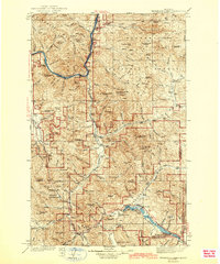
1942 · Thompson Lakes
USGS Topo · 1:125,000

1956 · Wallace
USGS Topo · 1:250,000

1957 · Kalispell
USGS Topo · 1:250,000

1960 · Kalispell
USGS Topo · 1:250,000

1960 · Wallace
USGS Topo · 1:250,000

1961 · Kalispell
USGS Topo · 1:250,000
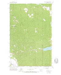
1964 · Meadow Peak
USGS Topo · 1:24,000