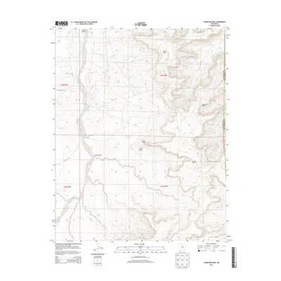
2013 Map of Thompson Mesa
USGS Topo · Published 2013About this map
Thompson Mesa and Blanco Mesa define the high desert terrain of this corner of the Navajo Nation, where the high plateaus are bisected by the broad drainage of Blanco Canyon. The landscape reveals the industrial footprint of the early 21st century, dominated by the extensive infrastructure of the San Juan Basin Gas Field. A network of access routes, including El Paso Rd and Co Road 7575, connects numerous well sites across the mesa tops and canyon floors. The map also traces the county line between San Juan and Rio Arriba counties, marking a political boundary through the natural features of Selph Canyon and Dufers Point. This intersection of energy extraction and traditional land use creates a distinct pattern of modern development overlaying the arid geography of northwest New Mexico.
Find a feature on this map
13 named features on this map. Tap any name to fly to it.
Don’t see what you’re looking for? This feature index may not catch every label — zoom into the map to look around manually.
Map Details
Editions of this 2013 Thompson Mesa Map
This is the sole edition of this map. No revisions or reprints were ever made.
Other maps of this area
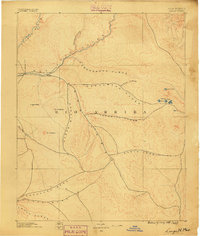
1889 · Largo
USGS Topo · 1:250,000
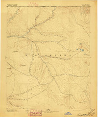
1895 · Largo
USGS Topo · 1:250,000
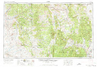
1954 · Aztec
USGS Topo · 1:250,000
1958 · Aztec
USGS Topo · 1:250,000
1959 · Gould Pass
USGS Topo · 1:62,500
1959 · Nageezi
USGS Topo · 1:62,500
1960 · Bloomfield
USGS Topo · 1:62,500
1962 · Aztec
USGS Topo · 1:250,000
1965 · Aztec
USGS Topo · 1:250,000
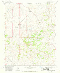
1966 · Blanco Trading Post
USGS Topo · 1:24,000