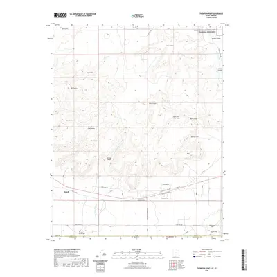
2020 Map of Thompson Point
USGS Topo · Published 2020About this map
The Vermilion Cliffs and Shinarump Cliffs define the dramatic vertical geography where the high desert plateau of southern Utah meets the Arizona border. This landscape is a complex network of named drainages, including Hog Canyon, Pugh Canyon, and Willis Canyon, which have historically dictated travel and settlement patterns. Near the town of Kanab, the map shows modern residential expansion along the base of the cliffs with roads such as Boulder Bluff Blvd and E Grande Vermillion Ave. Genealogists and local historians will find the Johnson Cem in Johnson Canyon, a quiet reminder of early pioneer footprints in the region. Much of the northern terrain is preserved within the Grand Staircase-Escalante National Monument, while the southern portion tracks the state line between Kane Co, Utah, and Coconino Co, Arizona.
Find a feature on this map
44 named features on this map. Tap any name to fly to it.
Don’t see what you’re looking for? This feature index may not catch every label — zoom into the map to look around manually.
Map Details
Editions of this 2020 Thompson Point Map
This is the sole edition of this map. No revisions or reprints were ever made.
Other maps of this area

1886 · Kanab
USGS Topo · 1:250,000

1886 · Kaibab
USGS Topo · 1:250,000

1953 · Cedar City
USGS Topo · 1:250,000

1953 · Grand Canyon
USGS Topo · 1:250,000

1954 · Johnson SE
USGS Topo · 1:24,000

1954 · Johnson NE
USGS Topo · 1:24,000

1954 · Kanab SE
USGS Topo · 1:24,000

1954 · Shinarump NW
USGS Topo · 1:24,000

1954 · Johnson SW
USGS Topo · 1:24,000

1954 · Fredonia NE
USGS Topo · 1:24,000