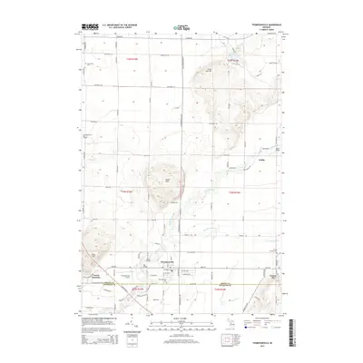
2014 Map of Thompsonville
USGS Topo · Published 2014About this map
Thompsonville serves as a central hub on the border of Benzie and Manistee counties, surrounded by a landscape defined by the winding Betsie River and the Little Betsie River. This 2014 survey reveals a transition between the established village center and the elevated terrain of North Hills and Buck Hills. The map documents several notable river crossings, including Red Bridge, Black Bridge, and Woirol Bridge, which illustrate the local transportation network's relationship with the river system.
Find a feature on this map
88 named features on this map. Tap any name to fly to it.
Don’t see what you’re looking for? This feature index may not catch every label — zoom into the map to look around manually.
Map Details
Editions of this 2014 Thompsonville Map
This is the sole edition of this map. No revisions or reprints were ever made.
Other maps of this area

1954 · Traverse City
USGS Topo · 1:250,000

1954 · Manitowoc
USGS Topo · 1:250,000

1956 · Onekama
USGS Topo · 1:62,500

1956 · Thompsonville
USGS Topo · 1:62,500

1956 · Frankfort
USGS Topo · 1:62,500

1957 · Copemish
USGS Topo · 1:62,500

1958 · Traverse City
USGS Topo · 1:250,000

1958 · Manitowoc
USGS Topo · 1:250,000

1976 · Thompsonville NE
USGS Topo · 1:24,000

1976 · Frankfort SE
USGS Topo · 1:24,000