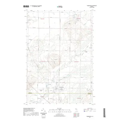
2019 Map of Thompsonville
USGS Topo · Published 2019About this map
Thompsonville serves as the focal point of this Benzie County landscape, situated near the junction of the Betsie River and the Little Betsie River. The area is characterized by several significant elevations, including Turtle Lake Hill and the North Hills, which break up the lowlands of the river valleys. Local transportation and crossing points are well-documented, featuring landmarks such as the Woirol Bridge, Black Bridge, and Red Bridge, alongside the Thompsonville Airport.
Find a feature on this map
88 named features on this map. Tap any name to fly to it.
Don’t see what you’re looking for? This feature index may not catch every label — zoom into the map to look around manually.
Map Details
Editions of this 2019 Thompsonville Map
This is the sole edition of this map. No revisions or reprints were ever made.
Other maps of this area

1954 · Traverse City
USGS Topo · 1:250,000

1954 · Manitowoc
USGS Topo · 1:250,000
1956 · Onekama
USGS Topo · 1:62,500
1956 · Thompsonville
USGS Topo · 1:62,500
1956 · Frankfort
USGS Topo · 1:62,500
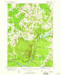
1957 · Copemish
USGS Topo · 1:62,500

1958 · Traverse City
USGS Topo · 1:250,000

1958 · Manitowoc
USGS Topo · 1:250,000
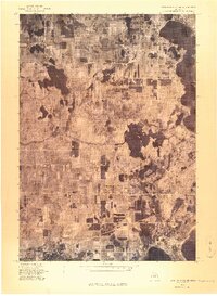
1976 · Thompsonville NE
USGS Topo · 1:24,000
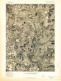
1976 · Frankfort SE
USGS Topo · 1:24,000