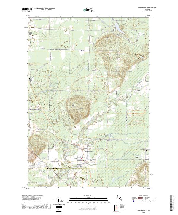
2023 Map of Thompsonville
USGS Topo · Published 2023About this map
The Betsie River and its tributary, the Little Betsie River, carve a winding path through this portion of the northern Michigan landscape. At the intersection of the Benzie and Manistee county lines, the village of Thompsonville serves as a local hub, with its streets arranged in a neat grid near the Thompsonville Cem. The surrounding terrain is characterized by distinct elevations such as North Hills and Turtle Lake Hill, while the Betsie Valley State Trail follows an established corridor through the region, likely tracing an old rail path.
Find a feature on this map
96 named features on this map. Tap any name to fly to it.
Don’t see what you’re looking for? This feature index may not catch every label — zoom into the map to look around manually.
Map Details
Editions of this 2023 Thompsonville Map
This is the sole edition of this map. No revisions or reprints were ever made.
Other maps of this area

1954 · Traverse City
USGS Topo · 1:250,000

1954 · Manitowoc
USGS Topo · 1:250,000
1956 · Onekama
USGS Topo · 1:62,500
1956 · Thompsonville
USGS Topo · 1:62,500
1956 · Frankfort
USGS Topo · 1:62,500
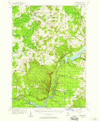
1957 · Copemish
USGS Topo · 1:62,500

1958 · Traverse City
USGS Topo · 1:250,000

1958 · Manitowoc
USGS Topo · 1:250,000
1976 · Thompsonville NE
USGS Topo · 1:24,000
1976 · Frankfort SE
USGS Topo · 1:24,000