
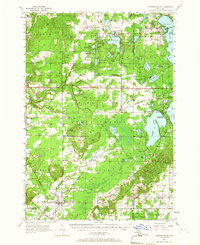
1956 Map of Thompsonville
USGS Topo · Published 1958About this map
The village of Thompsonville sits at a strategic junction in the northern Michigan woods, where the Ann Arbor and Chesapeake And Ohio railroads cross near the Buck Hills. This mid-century survey captures the landscape during a time of educational consolidation, noting several older schoolhouses like Drake Sch (Abandoned) and Pleasant Grove Sch (Abandoned) as already out of use. To the northeast, the famed National Music Camp and Interlochen State Park dominate the land between Green Lake and Duck Lake, serving as a cultural anchor for the region.
Find a feature on this map
112 named features on this map. Tap any name to fly to it.
Don’t see what you’re looking for? This feature index may not catch every label — zoom into the map to look around manually.
Map Details
Editions of this 1956 Thompsonville Map
3 editions found
Other maps of this area

1954 · Traverse City
USGS Topo · 1:250,000

1954 · Manitowoc
USGS Topo · 1:250,000

1956 · Onekama
USGS Topo · 1:62,500

1956 · Kingsley
USGS Topo · 1:62,500

1956 · Mesick
USGS Topo · 1:62,500

1956 · Frankfort
USGS Topo · 1:62,500

1957 · Traverse City
USGS Topo · 1:62,500

1957 · Empire
USGS Topo · 1:62,500

1957 · Copemish
USGS Topo · 1:62,500

1957 · Maple City
USGS Topo · 1:62,500
Featured Places
- Long Lake Township, MI
- Long Lake Charter Township, Long Lake Township
- Green Lake Township, MI
- Grant Township, MI
- Interlochen, Green Lake Township