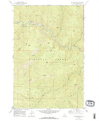
1969 Map of Thor Mountain
USGS Topo · Published 1973About this map
The St Joe River meanders through the heart of the St Joe National Forest, carving a deep valley beneath the high points of Shoshone County. In the late 1960s, this landscape was defined by its remote wilderness character and a network of primitive access routes, including numerous instances of a Pack Trail and a Jeep Trail traversing the steep drainages. Recreation is centered at the Tin Can Flat Campground, connected via a Footbridge over the river. The topography is marked by significant peaks and ridges like Thor Mountain and the prominent Bluff Divide. Local place names reflect a history of prospecting and resource exploration, with features such as Prospector Ridge, Nugget Hill, and Hardpan Point suggesting the area's mineral interests and the physical challenges of the terrain.
Find a feature on this map
38 named features on this map. Tap any name to fly to it.
Don’t see what you’re looking for? This feature index may not catch every label — zoom into the map to look around manually.
Map Details
Editions of this 1969 Thor Mountain Map
2 editions found
Other maps of this area

1914 · Avery
USGS Topo · 1:125,000

1917 · Avery
USGS Topo · 1:125,000

1918 · St Regis
USGS Topo · 1:125,000

1919 · St. Regis
USGS Topo · 1:125,000

1956 · Saltese
USGS Topo · 1:62,500

1956 · Wallace
USGS Topo · 1:250,000

1957 · Haugan
USGS Topo · 1:62,500

1957 · Simmons Peak
USGS Topo · 1:62,500

1960 · Wallace
USGS Topo · 1:250,000
1969 · Bathtub Mtn
USGS Topo · 1:24,000