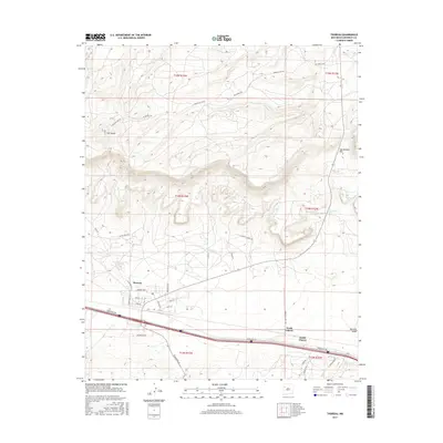
2017 Map of Thoreau
USGS Topo · Published 2017About this map
Thoreau stands as a central hub in this section of McKinley County, positioned where the high plateau desert meets the southern edges of the Zuni Mountains. The settlement's residential grid, featuring streets like Rose St and Frontier St, is flanked by the critical transportation corridor of the Frontage Rd and interstate. To the east, the small communities of North Chaves and South Chaves mark the landscape near Mitchell Draw.
Find a feature on this map
35 named features on this map. Tap any name to fly to it.
Don’t see what you’re looking for? This feature index may not catch every label — zoom into the map to look around manually.
Map Details
Editions of this 2017 Thoreau Map
This is the sole edition of this map. No revisions or reprints were ever made.
Other maps of this area
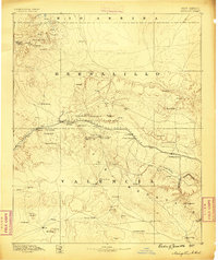
1886 · Wingate
USGS Topo · 1:250,000
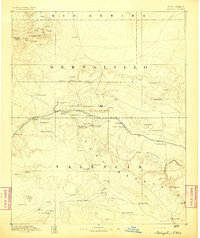
1892 · Wingate
USGS Topo · 1:250,000
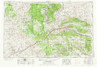
1954 · Gallup
USGS Topo · 1:250,000
1958 · Gallup
USGS Topo · 1:250,000
1959 · Gallup
USGS Topo · 1:250,000
1961 · Cottonwood Canyon
USGS Topo · 1:24,000
1962 · Gallup
USGS Topo · 1:250,000
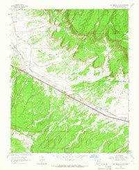
1962 · Continental Divide
USGS Topo · 1:24,000
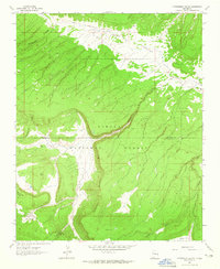
1962 · Cottonwood Canyon
USGS Topo · 1:24,000
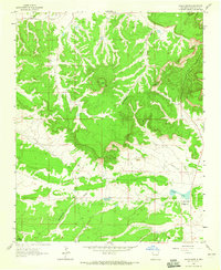
1963 · Hosta Butte
USGS Topo · 1:24,000