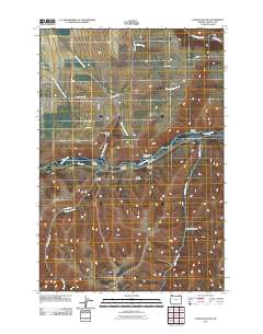
2011 Map of Thorn Hollow
USGS Topo · Published 2011About this map
The Umatilla River serves as the primary corridor through this portion of Umatilla County, carving a path between the northern plateaus and southern canyons. The settlement of Thorn Hollow is situated along its banks, near where the Thorn Hollow Creek feeds into the main river channel. The surrounding terrain is defined by a series of deep drainages including Rattlesnake Canyon, Shaplish Canyon, and Red Elk Canyon, suggesting a landscape of sharp elevation changes and natural barriers to travel.
Find a feature on this map
31 named features on this map. Tap any name to fly to it.
Don’t see what you’re looking for? This feature index may not catch every label — zoom into the map to look around manually.
Map Details
Editions of this 2011 Thorn Hollow Map
This is the sole edition of this map. No revisions or reprints were ever made.
Other maps of this area

1935 · Pendleton
USGS Topo · 1:125,000

1953 · Pendleton
USGS Topo · 1:250,000

1956 · Pendleton
USGS Topo · 1:250,000

1964 · Thorn Hollow
USGS Topo · 1:24,000

1964 · Athena
USGS Topo · 1:24,000

1964 · Weston Mountain
USGS Topo · 1:24,000

1964 · Duncan
USGS Topo · 1:24,000

1964 · Gibbon
USGS Topo · 1:24,000

1964 · Meacham
USGS Topo · 1:24,000

1966 · Cabbage Hill
USGS Topo · 1:24,000