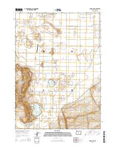
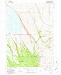
2014 Map of Thorn Lake
USGS Topo · Published 2014About this map
Fort Rock Valley defines the high-desert character of this portion of Lake County, where isolated water bodies and aviation markers punctuate the arid landscape. The survey captures the geographic importance of Table Rock, a prominent terrain feature situated west of the Table Rock Airport. This remote landing strip and the nearby Depression Sump illustrate the specialized infrastructure required for this sagebrush-dominated region. Water resources are localized at Thorn Lake and the aptly named Bottomless Lake, which likely serve as vital landmarks for local ranchers and pilots alike. The road network, including the Christmas Valley Hwy and Old Lake Rd, reflects the rectilinear surveying of the Public Land Survey System, carving out large townships and ranges such as t27s r16e within the expansive valley floor.
Find a feature on this map
26 named features on this map. Tap any name to fly to it.
Don’t see what you’re looking for? This feature index may not catch every label — zoom into the map to look around manually.
Map Details
Editions of this 2014 Thorn Lake Map
This is the sole edition of this map. No revisions or reprints were ever made.
Other maps of this area

1955 · Crescent
USGS Topo · 1:250,000

1957 · Crescent
USGS Topo · 1:250,000

1958 · Crescent
USGS Topo · 1:250,000

1970 · Crescent
USGS Topo · 1:250,000

1981 · Thorn Lake
USGS Topo · 1:24,000

1981 · Lane Lake
USGS Topo · 1:24,000
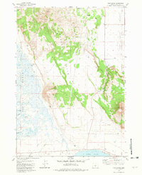
1981 · Tuff Butte
USGS Topo · 1:24,000
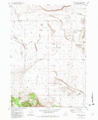
1982 · Schaub Lake
USGS Topo · 1:24,000
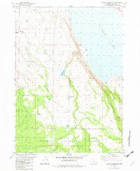
1982 · Duncan Reservoir
USGS Topo · 1:24,000
1982 · Egli Rim
USGS Topo · 1:24,000