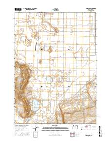
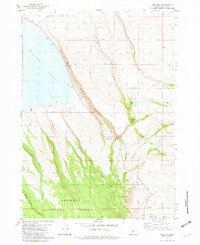
2017 Map of Thorn Lake
USGS Topo · Published 2017About this map
Thorn Lake and the broader expanse of the Fort Rock Valley define this high desert landscape in Lake County. The terrain is dominated by significant geological features, most notably the prominent Table Rock and the low-lying Bottomless Lake. A network of named rural roads, including the whimsically named Kitty Litter Rd and Kitty Litter Ln, connects the isolated homesteads and ranching interests throughout this arid region. The presence of the Table Rock Airport northwest of the Depression Sump highlights the necessity of air travel for regional connectivity in such an expansive environment. Local transportation is further marked by thoroughfares such as Christmas Valley Hwy and Waggontire Rd, which trace the historical routes through the sagebrush and volcanic geography of the Oregon interior.
Find a feature on this map
35 named features on this map. Tap any name to fly to it.
Don’t see what you’re looking for? This feature index may not catch every label — zoom into the map to look around manually.
Map Details
Editions of this 2017 Thorn Lake Map
This is the sole edition of this map. No revisions or reprints were ever made.
Other maps of this area

1955 · Crescent
USGS Topo · 1:250,000

1957 · Crescent
USGS Topo · 1:250,000

1958 · Crescent
USGS Topo · 1:250,000

1970 · Crescent
USGS Topo · 1:250,000

1981 · Thorn Lake
USGS Topo · 1:24,000

1981 · Lane Lake
USGS Topo · 1:24,000
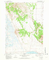
1981 · Tuff Butte
USGS Topo · 1:24,000
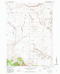
1982 · Schaub Lake
USGS Topo · 1:24,000
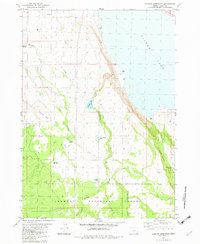
1982 · Duncan Reservoir
USGS Topo · 1:24,000
1982 · Egli Rim
USGS Topo · 1:24,000