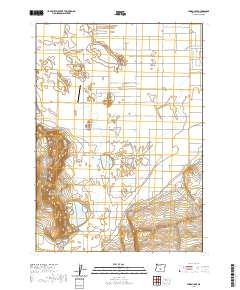
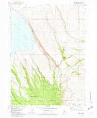
2020 Map of Thorn Lake
USGS Topo · Published 2020About this map
Fort Rock Valley defines this arid landscape in Lake County, characterized by a sparse network of county roads and distinctive volcanic topography. The terrain is anchored by Table Rock, a prominent landform rising above the surrounding basin, while the local drainage system terminates in features like Thorn Lake, Bottomless Lake, and Depression Sump. This modern survey reflects the rural infrastructure of the region, where connectivity is maintained through routes such as the Christmas Valley Hwy and Wagontire Rd. The presence of the Table Rock Airport suggests the importance of aerial access in this remote high-desert environment. Geographers and local historians will find interest in the intersection of traditional land survey lines, including t28s r16e, with the utilitarian naming of local arteries like Kitty Litter Rd and Shotgun Pass Ln.
Find a feature on this map
33 named features on this map. Tap any name to fly to it.
Don’t see what you’re looking for? This feature index may not catch every label — zoom into the map to look around manually.
Map Details
Editions of this 2020 Thorn Lake Map
This is the sole edition of this map. No revisions or reprints were ever made.
Other maps of this area

1955 · Crescent
USGS Topo · 1:250,000

1957 · Crescent
USGS Topo · 1:250,000

1958 · Crescent
USGS Topo · 1:250,000

1970 · Crescent
USGS Topo · 1:250,000

1981 · Thorn Lake
USGS Topo · 1:24,000

1981 · Lane Lake
USGS Topo · 1:24,000
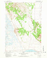
1981 · Tuff Butte
USGS Topo · 1:24,000
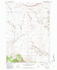
1982 · Schaub Lake
USGS Topo · 1:24,000
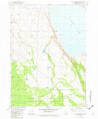
1982 · Duncan Reservoir
USGS Topo · 1:24,000
1982 · Egli Rim
USGS Topo · 1:24,000