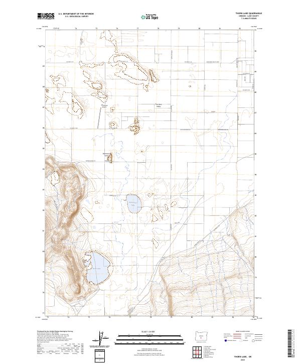
2023 Map of Thorn Lake
USGS Topo · Published 2023About this map
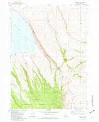
Fort Rock Valley defines this arid landscape in central Lake County, where the topography transitions from flat basin floors to the steep rising slopes of Table Mountain. The map centers on a series of hydrological features unique to the high desert, most notably the seasonal waters of Thorn Lake and the aptly named Bottomless Lake. These basins, along with the Depression Sump, suggest the endorheic drainage patterns typical of the Oregon outback.
Find a feature on this map
35 named features on this map. Tap any name to fly to it.
Don’t see what you’re looking for? This feature index may not catch every label — zoom into the map to look around manually.
Map Details
Editions of this 2023 Thorn Lake Map
This is the sole edition of this map. No revisions or reprints were ever made.
Other maps of this area

1955 · Crescent
USGS Topo · 1:250,000

1957 · Crescent
USGS Topo · 1:250,000

1958 · Crescent
USGS Topo · 1:250,000

1970 · Crescent
USGS Topo · 1:250,000

1981 · Thorn Lake
USGS Topo · 1:24,000

1981 · Lane Lake
USGS Topo · 1:24,000
1981 · Tuff Butte
USGS Topo · 1:24,000
1982 · Schaub Lake
USGS Topo · 1:24,000
1982 · Duncan Reservoir
USGS Topo · 1:24,000
1982 · Egli Rim
USGS Topo · 1:24,000