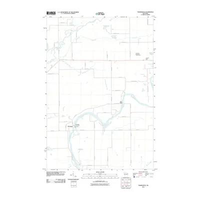
2010 Map of Thornapple
USGS Topo · Published 2010About this map
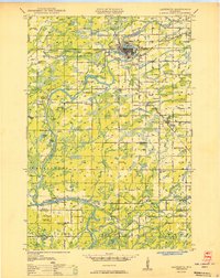
The Flambeau River and Thornapple River converge in this Rusk County landscape, highlighting a region defined by its complex hydrography and small riverine settlements. Water management is a central theme here, with the Thornapple Dam and the Thornapple WP148 Dam situated near the settlement of Thornapple. These structures control the flow as the river winds toward the Chippewa River to the west.
Find a feature on this map
50 named features on this map. Tap any name to fly to it.
Don’t see what you’re looking for? This feature index may not catch every label — zoom into the map to look around manually.
Map Details
Editions of this 2010 Thornapple Map
This is the sole edition of this map. No revisions or reprints were ever made.
Other maps of this area
1944 · Exeland
USGS Topo · 1:48,000
1945 · Meteor
USGS Topo · 1:48,000
1947 · Exeland
USGS Topo · 1:48,000
1948 · Weyerhauser
USGS Topo · 1:48,000
1948 · Ladysmith
USGS Topo · 1:48,000
1949 · Meteor
USGS Topo · 1:48,000
1950 · Weyerhauser
USGS Topo · 1:48,000
1950 · Ladysmith
USGS Topo · 1:48,000

1953 · Rice Lake
USGS Topo · 1:250,000

1959 · Rice Lake
USGS Topo · 1:250,000