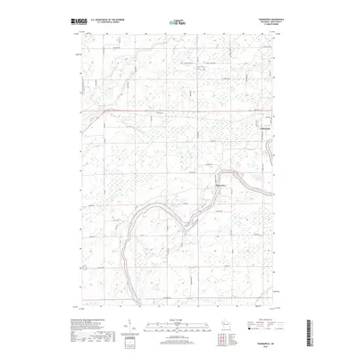
2018 Map of Thornapple
USGS Topo · Published 2018About this map
The Flambeau River and Chippewa River converge in this section of Rusk County, defining a landscape of complex waterways and wetlands. Near the eastern edge, the settlement of Ladysmith sits along the Flambeau River, while the smaller community of Port Arthur is positioned further downstream where the river bends sharply. The terrain is marked by numerous glacial features, including Sunfish Lake, Long Lake, and Dump Lake, alongside smaller tributaries like Thornapple River and Deer Tail Cr. A network of rural roads, including Sisters Farm Rd and Bell School Rd, provides access to the surrounding forest and farm tracts. The map reveals the modern intersection of these ancient river systems with the developed infrastructure of the Rusk County seat, providing a clear view of the area's hydrology and contemporary land use.
Find a feature on this map
57 named features on this map. Tap any name to fly to it.
Don’t see what you’re looking for? This feature index may not catch every label — zoom into the map to look around manually.
Map Details
Editions of this 2018 Thornapple Map
This is the sole edition of this map. No revisions or reprints were ever made.
Other maps of this area

1944 · Exeland
USGS Topo · 1:48,000

1945 · Meteor
USGS Topo · 1:48,000

1947 · Exeland
USGS Topo · 1:48,000

1948 · Weyerhauser
USGS Topo · 1:48,000

1948 · Ladysmith
USGS Topo · 1:48,000

1949 · Meteor
USGS Topo · 1:48,000

1950 · Weyerhauser
USGS Topo · 1:48,000

1950 · Ladysmith
USGS Topo · 1:48,000

1953 · Rice Lake
USGS Topo · 1:250,000

1959 · Rice Lake
USGS Topo · 1:250,000