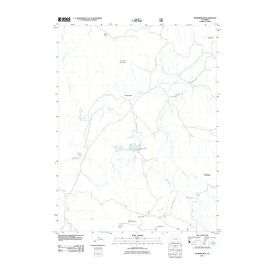
2011 Map of Thornburgh
USGS Topo · Published 2011About this map
The high-country settlement of Thornburgh serves as the focal point for this survey of Rio Blanco County, where the landscape is defined by a network of vital water management features. Ranching and resource extraction are central to the area's development, evidenced by the presence of the Thornburgh Gas Field and the Butterfly Mine. The complex irrigation and water storage systems, including the D D and E Wise Reservoir, Wyman Reservoir, and the Martin Creek Ditch, illustrate the efforts required to sustain operations in this environment. Terrain landmarks such as Thornburgh Mountain and Uranium Peak dominate the horizon, while Milk Creek and Grade Creek carve through the foothills. The proximity of the Number One Mine near Windy Point and the remote high-altitude waters of Aldrich Lakes reflect the area's dual character of industrial utility and natural isolation.
Find a feature on this map
30 named features on this map. Tap any name to fly to it.
Don’t see what you’re looking for? This feature index may not catch every label — zoom into the map to look around manually.
Map Details
Editions of this 2011 Thornburgh Map
This is the sole edition of this map. No revisions or reprints were ever made.
Other maps of this area

1910 · Danforth Hills
USGS Topo · 1:125,000

1912 · Meeker
USGS Topo · 1:62,500

1912 · Axial
USGS Topo · 1:62,500

1914 · Meeker
USGS Topo · 1:62,500

1914 · Axial
USGS Topo · 1:62,500

1915 · Monument Butte
USGS Topo · 1:62,500

1954 · Craig
USGS Topo · 1:250,000

1957 · Craig
USGS Topo · 1:250,000

1958 · Craig
USGS Topo · 1:250,000

1960 · Craig
USGS Topo · 1:250,000