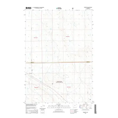
2015 Map of Thornton
USGS Topo · Published 2015About this map
Thornton sits at the western edge of the Thunder Basin National Grassland, marking a transition from the drainage of Dumbrill Creek down toward the Green River. The landscape is defined by the management of water in an arid environment, evidenced by the clustered water features near the settlement, including the Thornton Reservoir, Luman Reservoir, and the J W and M J Luman Reservoir. These catchments, along with several draws and creeks like Wind Creek and Patrick Creek, illustrate the historical importance of water rights and livestock support in this section of Wyoming. The terrain rises to notable landmarks such as Shale Hill and Pine Ridge in the south, while the northern reaches are dissected by Tomcat Creek and Willow Tree Springs. This 2015 update shows the county line between Crook and Weston Counties as it cuts across the northern half of the quadrangle.
Find a feature on this map
28 named features on this map. Tap any name to fly to it.
Don’t see what you’re looking for? This feature index may not catch every label — zoom into the map to look around manually.
Map Details
Editions of this 2015 Thornton Map
This is the sole edition of this map. No revisions or reprints were ever made.
Other maps of this area
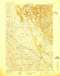
1918 · Moorcroft
USGS Topo · 1:125,000
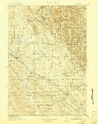
1918 · Moorcroft
USGS Topo · 1:62,500

1954 · Gillette
USGS Topo · 1:250,000

1955 · Gillette
USGS Topo · 1:250,000
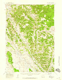
1957 · Nefsy Divide
USGS Topo · 1:62,500
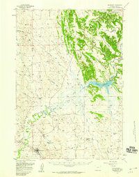
1957 · Moorcroft
USGS Topo · 1:62,500
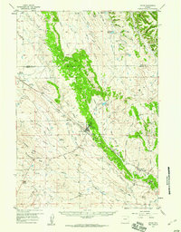
1957 · Upton
USGS Topo · 1:62,500

1958 · Gillette
USGS Topo · 1:250,000

1962 · Gillette
USGS Topo · 1:250,000
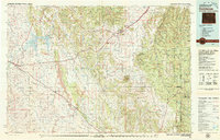
1979 · Sundance
USGS Topo · 1:100,000