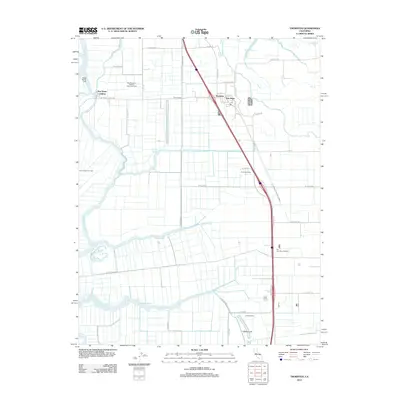
2012 Map of Thornton
USGS Topo · Published 2012About this map
The Mokelumne River and its intricate distributaries dictate the landscape of this Central Valley region, where the Delta's agricultural and energy infrastructure is clearly defined. This area is anchored by the community of Thornton and the nearby historic landing at New Hope Landing. The map highlights a specialized agrarian economy through family-named operations such as De Snayer Dairy, Exel Dairy Number 1, and Simones Dairy, alongside extensive energy extraction sites like the West Thornton-Walnut Grove Gas Field and River Island Gas Field. A complex network of sloughs, including Beaver Slough, Hog Slough, and Sycamore Slough, segments the fertile tracts. In the south, the settlement of Terminous marks a point of historical significance near the Upland Canal. The presence of Dead Horse Cut illustrates the significant hydrologic engineering used to manage the seasonal flows of the river system.
Find a feature on this map
48 named features on this map. Tap any name to fly to it.
Don’t see what you’re looking for? This feature index may not catch every label — zoom into the map to look around manually.
Map Details
Editions of this 2012 Thornton Map
This is the sole edition of this map. No revisions or reprints were ever made.
Other maps of this area

1894 · Lodi
USGS Topo · 1:125,000

1908 · Courtland
USGS Topo · 1:62,500

1910 · New Hope
USGS Topo · 1:31,680

1910 · Castle
USGS Topo · 1:31,680

1910 · Bouldin
USGS Topo · 1:31,680

1910 · Woodbridge
USGS Topo · 1:31,680

1910 · Bruceville
USGS Topo · 1:31,680

1910 · Headreach
USGS Topo · 1:31,680

1910 · Galt
USGS Topo · 1:31,680

1910 · Isleton
USGS Topo · 1:31,680