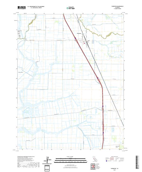
2022 Map of Thornton
USGS Topo · Published 2022About this map
The Thornton settlement sits at the junction of the Mokelumne River and Dry Cr, marking a point where the Sacramento Valley transitions into the San Joaquin Valley. This landscape is defined by an intricate network of natural and engineered waterways, including the South Mokelumne River, Snodgrass Slough, and Grizzly Slough. Large land masses like Staten Island and Dead Horse Island illustrate the delta-like character of the region, where roads such as W Peltier Rd and W Woodbridge Rd follow the rectilinear grid of agricultural sections. The presence of the Northwest Main Canal and Upland Canal signifies the intensive water management required for the surrounding Central Valley farmland. Local routes like Jacob Brack Rd and Thornton Rd connect the scattered ranching and farming operations that characterize this productive alluvial plain.
Find a feature on this map
48 named features on this map. Tap any name to fly to it.
Don’t see what you’re looking for? This feature index may not catch every label — zoom into the map to look around manually.
Map Details
Editions of this 2022 Thornton Map
This is the sole edition of this map. No revisions or reprints were ever made.
Other maps of this area

1894 · Lodi
USGS Topo · 1:125,000

1908 · Courtland
USGS Topo · 1:62,500

1910 · New Hope
USGS Topo · 1:31,680

1910 · Castle
USGS Topo · 1:31,680

1910 · Bouldin
USGS Topo · 1:31,680

1910 · Woodbridge
USGS Topo · 1:31,680

1910 · Bruceville
USGS Topo · 1:31,680

1910 · Headreach
USGS Topo · 1:31,680

1910 · Galt
USGS Topo · 1:31,680

1910 · Isleton
USGS Topo · 1:31,680