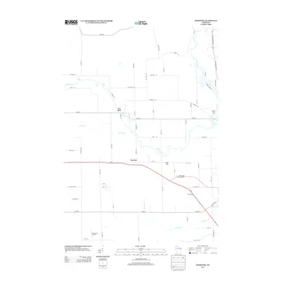
2013 Map of Thornton
USGS Topo · Published 2013About this map
The Red River and Wolf River converge in this section of Shawano County, defining a landscape shaped by water and agriculture in the early 21st century. The settlement of Thornton sits central to a network of county highways and local roads, illustrating the area's rural character. A series of distinct water features, including Freeman Falls, Gilmer Falls, and Little Bull Falls, are visible along the upper reaches of the Red River, marking significant elevation changes in the local hydrology.
Find a feature on this map
65 named features on this map. Tap any name to fly to it.
Don’t see what you’re looking for? This feature index may not catch every label — zoom into the map to look around manually.
Map Details
Editions of this 2013 Thornton Map
This is the sole edition of this map. No revisions or reprints were ever made.
Other maps of this area

1954 · Gresham
USGS Topo · 1:48,000

1954 · Shawano
USGS Topo · 1:48,000

1955 · Embarrass
USGS Topo · 1:48,000

1955 · Clintonville
USGS Topo · 1:48,000

1955 · Green Bay
USGS Topo · 1:250,000

1964 · Shawano
USGS Topo · 1:62,500

1964 · Gresham
USGS Topo · 1:62,500

1969 · Embarrass
USGS Topo · 1:24,000

1969 · Lunds
USGS Topo · 1:24,000

1970 · Clintonville North
USGS Topo · 1:24,000