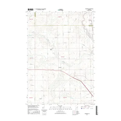
2016 Map of Thornton
USGS Topo · Published 2016About this map
Keshena sits at the northeastern corner of this 2016 survey, marking the institutional heart of the area with the Coll of Menominee Nation. The landscape is defined by the sharp transition between the Menominee and Shawano county lines, where the north-south flow of the Wolf River meets a series of dramatic water features. Further west, the Red River carves a winding path toward the settlement of Thornton, punctuated by distinct natural drops at Freeman Falls, Gilmer Falls, and Little Bull Falls.
Find a feature on this map
74 named features on this map. Tap any name to fly to it.
Don’t see what you’re looking for? This feature index may not catch every label — zoom into the map to look around manually.
Map Details
Editions of this 2016 Thornton Map
This is the sole edition of this map. No revisions or reprints were ever made.
Other maps of this area

1954 · Gresham
USGS Topo · 1:48,000

1954 · Shawano
USGS Topo · 1:48,000

1955 · Embarrass
USGS Topo · 1:48,000

1955 · Clintonville
USGS Topo · 1:48,000

1955 · Green Bay
USGS Topo · 1:250,000

1964 · Shawano
USGS Topo · 1:62,500

1964 · Gresham
USGS Topo · 1:62,500

1969 · Embarrass
USGS Topo · 1:24,000

1969 · Lunds
USGS Topo · 1:24,000

1970 · Clintonville North
USGS Topo · 1:24,000