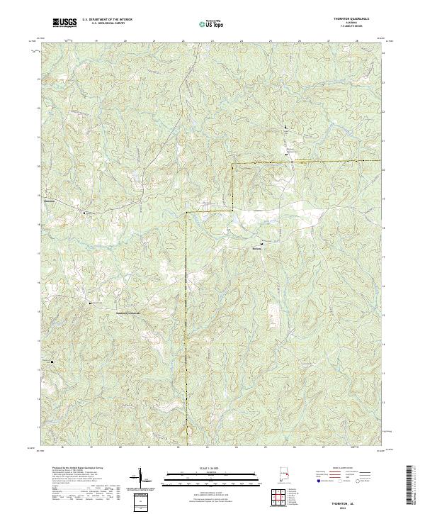
2024 Map of Thornton
USGS Topo · Published 2024About this map
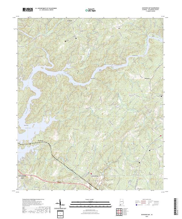
Thornton and Roxana anchor this rural landscape along the boundary of Tallapoosa and Lee counties. The area is characterized by a dense network of watercourses, including Wind Creek and the southern flow of Sycamore Creek, which define the local drainage patterns. Significant for family historians, the terrain is dotted with small burial grounds such as New Hope Cem, Meadows - Robinson Cem, and Shiloh Cem, many located near historic crossroads.
Find a feature on this map
54 named features on this map. Tap any name to fly to it.
Don’t see what you’re looking for? This feature index may not catch every label — zoom into the map to look around manually.
Map Details
Editions of this 2024 Thornton Map
This is the sole edition of this map. No revisions or reprints were ever made.
Historical Maps of Lee County Through Time
10 maps found
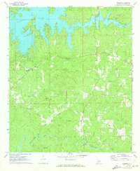
1971 Buttston
Tallapoosa County, AL
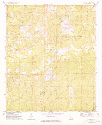
1971 Carrville
Tallapoosa County, AL
1971 Jacksons Gap
Tallapoosa County, AL
1971 Ponders
Tallapoosa County, AL
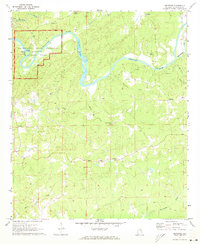
1971 Thornton
Tallapoosa County, AL
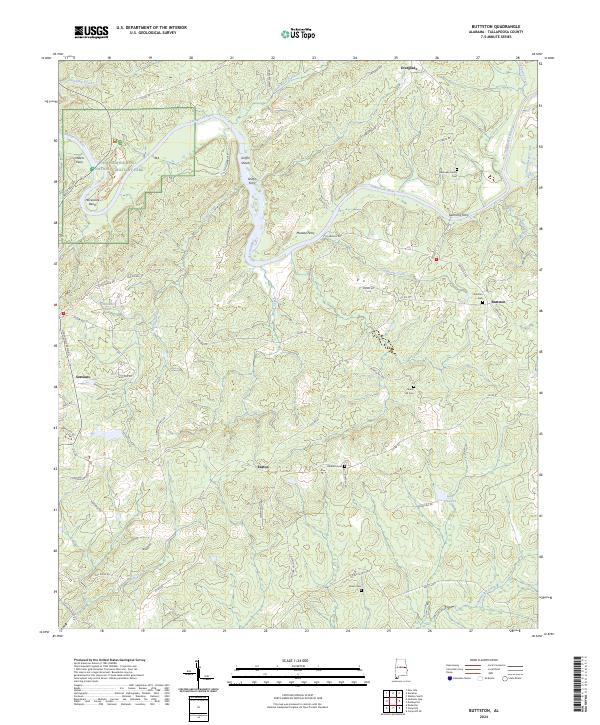
2024 Buttston
Tallapoosa County, AL
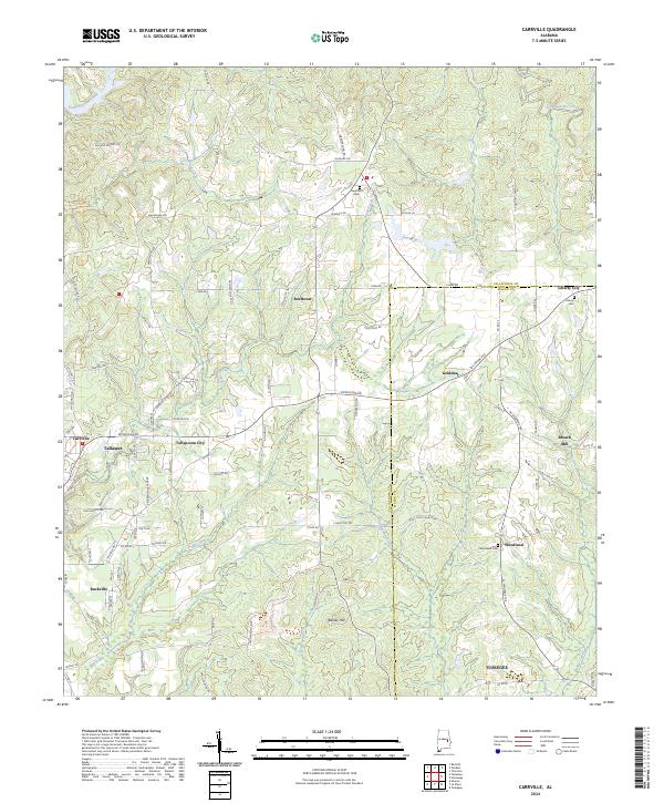
2024 Carrville
Tallapoosa County, AL
2024 Jacksons Gap
Tallapoosa County, AL
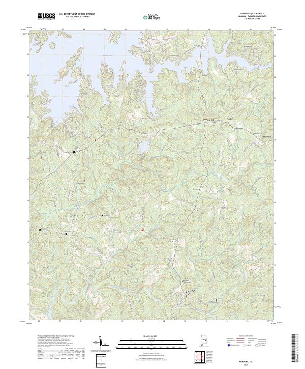
2024 Ponders
Tallapoosa County, AL
2024 Thornton
Tallapoosa County, AL