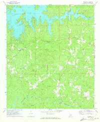
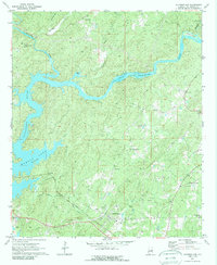
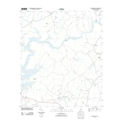
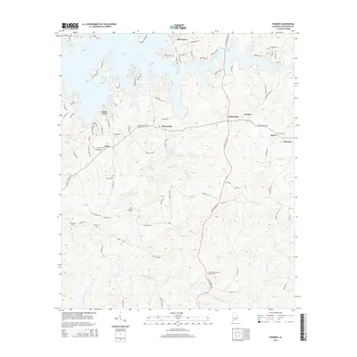
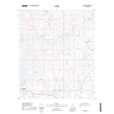
1971 Map of Ponders
USGS Topo · Published 1973About this map
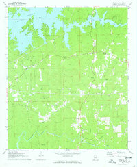
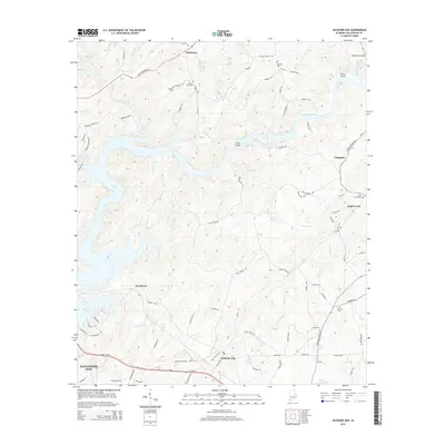
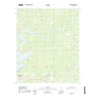
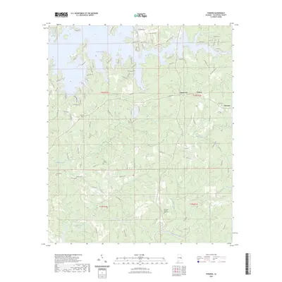
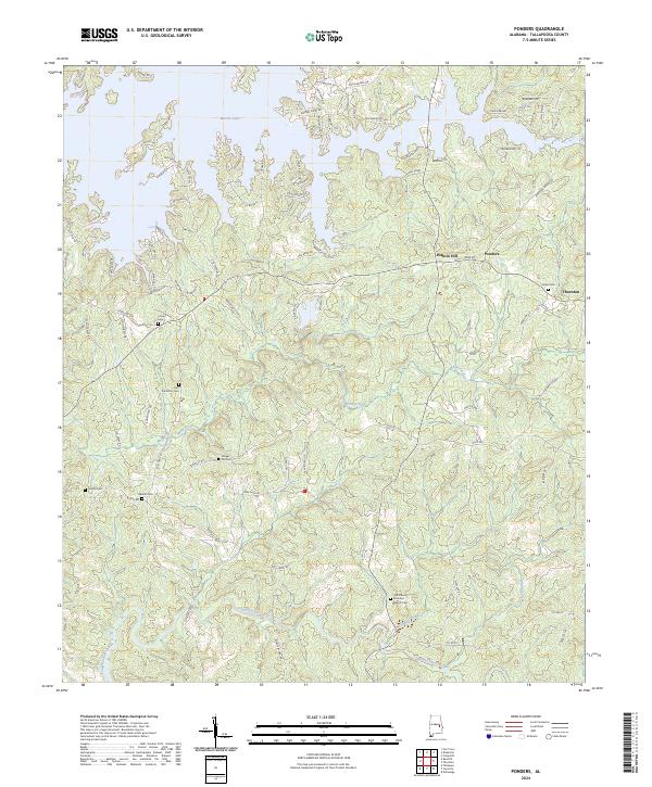
Lake Martin dominates the northern reaches of this Tallapoosa County landscape, where the reservoir's fingers create a complex shoreline reaching into the hills. The southern terrain is defined by the winding course of Sougahatchee Creek and its many tributaries like Wind Creek and Buck Creek. This early 1970s survey captures a rural Alabama community structured around small hubs such as Barnesville, Walnut Hill, and Union.
Find a feature on this map
24 named features on this map. Tap any name to fly to it.
Don’t see what you’re looking for? This feature index may not catch every label — zoom into the map to look around manually.
Map Details
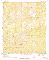
Editions of this 1971 Ponders Map
2 editions found
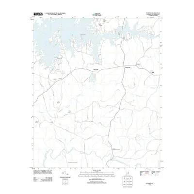
Historical Maps of Barnesville Through Time
31 maps found
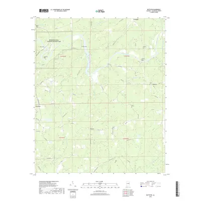
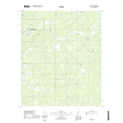
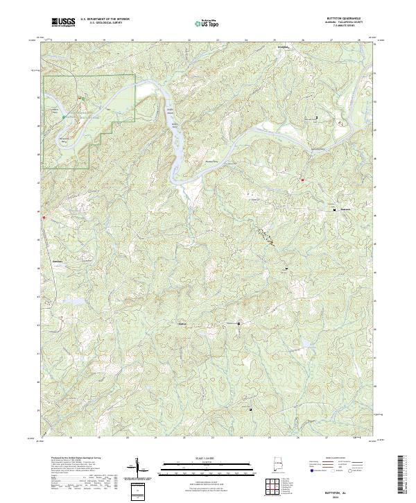
1971 Buttston
Tallapoosa County, AL
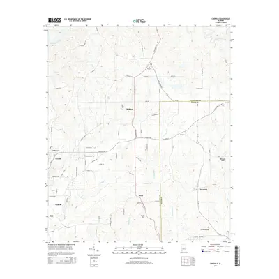
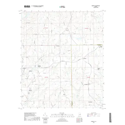
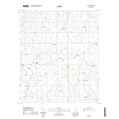
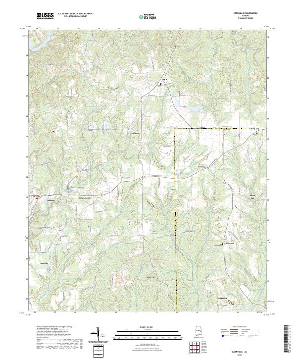
1971 Carrville
Tallapoosa County, AL
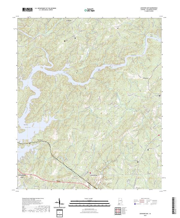
1971 Jacksons Gap
Tallapoosa County, AL
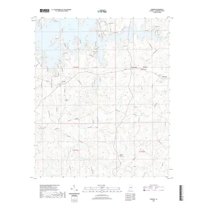
1971 Ponders
Tallapoosa County, AL
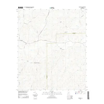
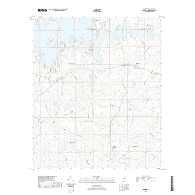
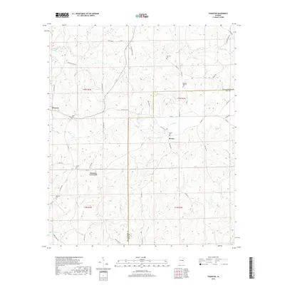
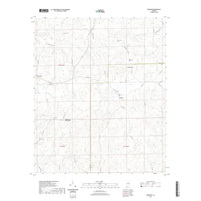
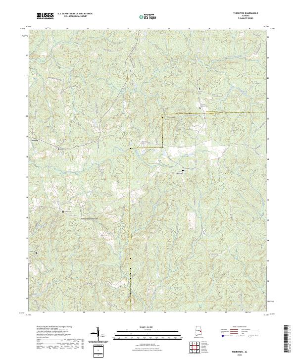
1971 Thornton
Tallapoosa County, AL
2011 Buttston
Tallapoosa County, AL
2011 Carrville
Tallapoosa County, AL
2011 Jacksons Gap
Tallapoosa County, AL
2011 Ponders
Tallapoosa County, AL
2011 Thornton
Tallapoosa County, AL
2014 Buttston
Tallapoosa County, AL
2014 Carrville
Tallapoosa County, AL
2014 Jacksons Gap
Tallapoosa County, AL
2014 Ponders
Tallapoosa County, AL
2014 Thornton
Tallapoosa County, AL
2018 Buttston
Tallapoosa County, AL
2018 Carrville
Tallapoosa County, AL
2018 Jacksons Gap
Tallapoosa County, AL
2018 Ponders
Tallapoosa County, AL
2018 Thornton
Tallapoosa County, AL
2020 Buttston
Tallapoosa County, AL
2020 Carrville
Tallapoosa County, AL
2020 Jacksons Gap
Tallapoosa County, AL
2020 Ponders
Tallapoosa County, AL
2020 Thornton
Tallapoosa County, AL
2023 Ponders
Tallapoosa County, AL
2024 Buttston
Tallapoosa County, AL
2024 Carrville
Tallapoosa County, AL
2024 Jacksons Gap
Tallapoosa County, AL
2024 Ponders
Tallapoosa County, AL
2024 Thornton
Tallapoosa County, AL