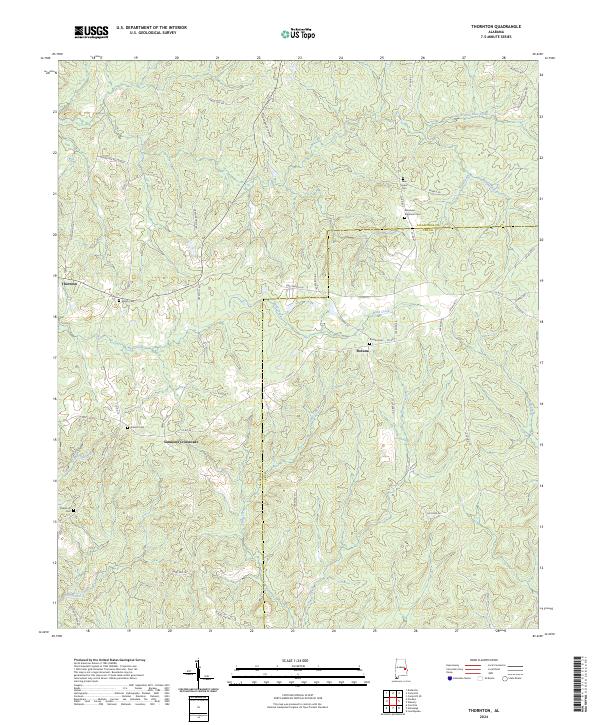
2024 Map of Thornton
USGS Topo · Published 2024This historical map portrays the area of Thornton in 2024, primarily covering Tallapoosa County as well as portions of Lee County. Featuring a scale of 1:24000, this map provides a highly detailed snapshot of the terrain, roads, buildings, counties, and historical landmarks in the Thornton region at the time. Published in 2024, it is the sole known edition of this map.
Map Details
Editions of this 2024 Thornton Map
This is the sole edition of this map. No revisions or reprints were ever made.
Historical Maps of Tallapoosa County Through Time
10 maps found
1971 Buttston
Tallapoosa County, AL
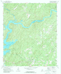
1971 Carrville
Tallapoosa County, AL
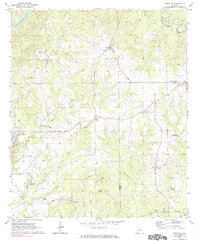
1971 Jacksons Gap
Tallapoosa County, AL
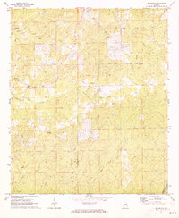
1971 Ponders
Tallapoosa County, AL
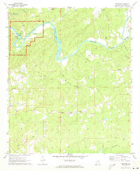
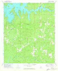
1971 Thornton
Tallapoosa County, AL
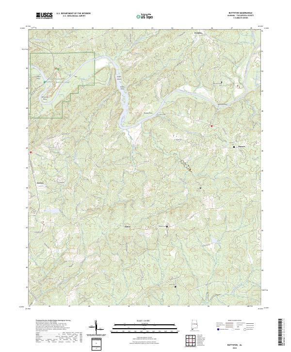
2024 Buttston
Tallapoosa County, AL
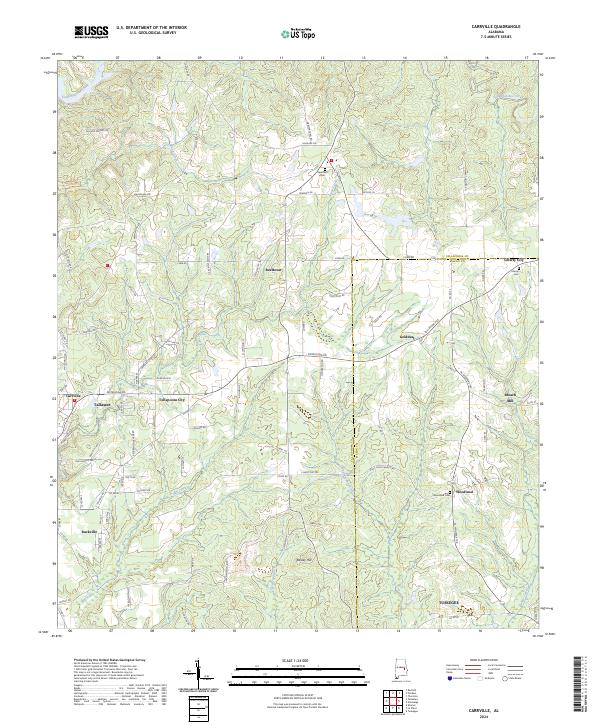
2024 Carrville
Tallapoosa County, AL
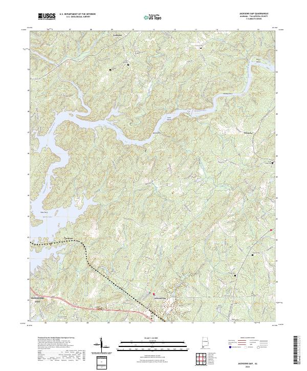
2024 Jacksons Gap
Tallapoosa County, AL
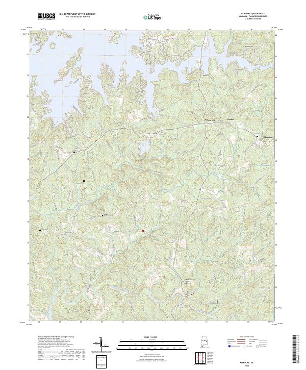
2024 Ponders
Tallapoosa County, AL
2024 Thornton
Tallapoosa County, AL