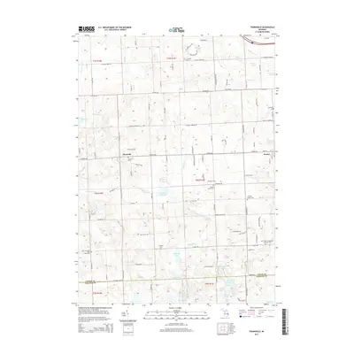
2014 Map of Thornville
USGS Topo · Published 2014About this map
Dryden and Thornville anchor this survey of the southern Lapeer County and northern Oakland County borderlands. The landscape is defined by a dense concentration of cemeteries that speak to the deep-rooted rural settlement of the region, including Dryden Center Cem, Whigville Cem, and the S Dryden Pioneer Cem. These sites, alongside family-named landmarks like Russell Lake and Brooks Lake, offer a detailed view of the area's genealogical geography.
Find a feature on this map
111 named features on this map. Tap any name to fly to it.
Don’t see what you’re looking for? This feature index may not catch every label — zoom into the map to look around manually.
Map Details
Editions of this 2014 Thornville Map
This is the sole edition of this map. No revisions or reprints were ever made.
Other maps of this area

1943 · Lake Orion
USGS Topo · 1:24,000

1943 · Oxford
USGS Topo · 1:24,000

1943 · Metamora
USGS Topo · 1:24,000

1943 · Romeo
USGS Topo · 1:24,000

1945 · Almont
USGS Topo · 1:24,000

1945 · Thornville
USGS Topo · 1:24,000

1945 · Oxford
USGS Topo · 1:24,000

1945 · Romeo
USGS Topo · 1:24,000
1945 · Lake Orion
USGS Topo · 1:24,000

1946 · Metamora
USGS Topo · 1:24,000