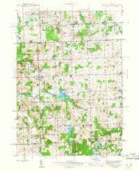
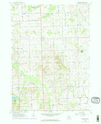
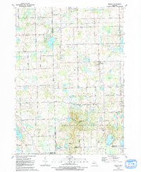
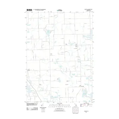
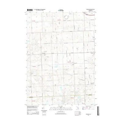
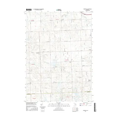
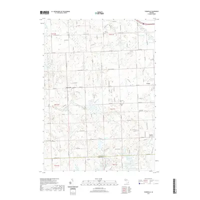
1945 Map of Thornville
USGS Topo · Published 1945About this map
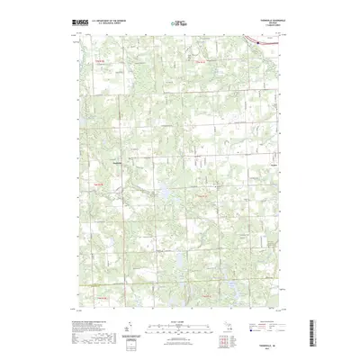
The South Branch Flint River meanders through a landscape of glacial lakes and scattered rural settlements in this mid-1940s survey of Lapeer County. The village of Thornville serves as a local hub near the center, while Dryden sits at the eastern edge of the quadrangle. This period reflects a well-established agrarian community, evidenced by the dense network of country schools such as Whites Sch, Sutton Sch, and Fancher Sch.
Find a feature on this map
65 named features on this map. Tap any name to fly to it.
Don’t see what you’re looking for? This feature index may not catch every label — zoom into the map to look around manually.
Map Details
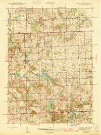
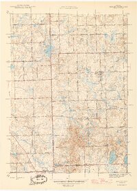
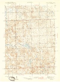
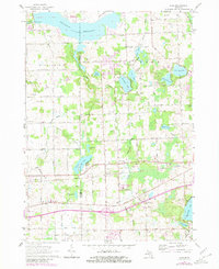
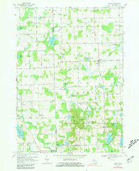
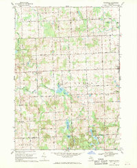
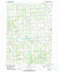
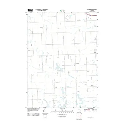
Editions of this 1945 Thornville Map
3 editions found
Historical Maps of Oxford Charter Township Through Time
28 maps found
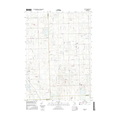
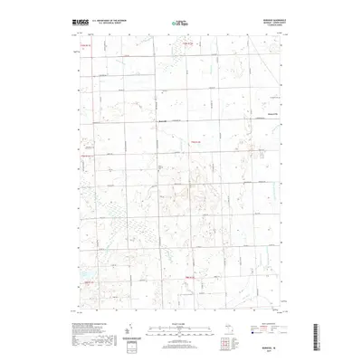
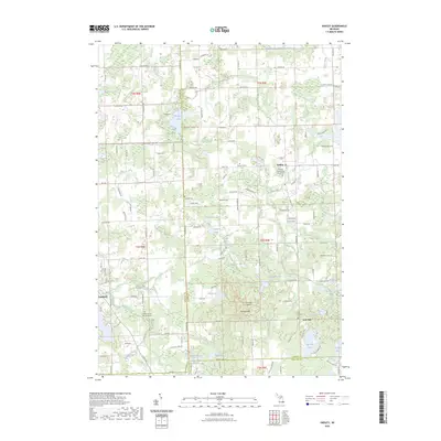
1945 Hadley
Lapeer County, MI
1945 Thornville
Lapeer County, MI
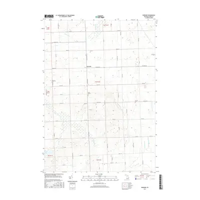
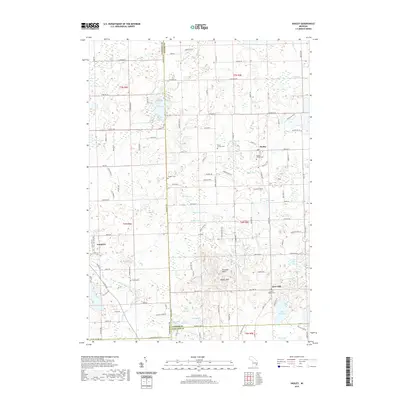
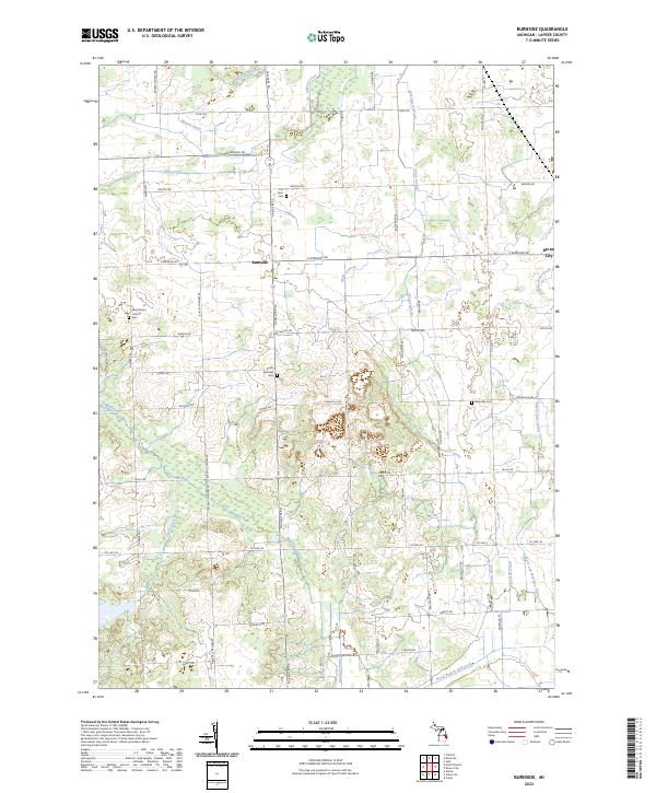
1963 Burnside
Lapeer County, MI
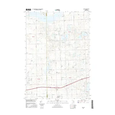
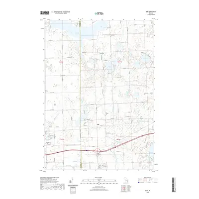
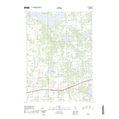
1963 Elba
Lapeer County, MI
1968 Hadley
Lapeer County, MI
1968 Thornville
Lapeer County, MI
1991 Hadley
Lapeer County, MI
1991 Thornville
Lapeer County, MI
2011 Burnside
Lapeer County, MI
2011 Elba
Lapeer County, MI
2011 Hadley
Lapeer County, MI
2011 Thornville
Lapeer County, MI

2014 Burnside
Lapeer County, MI
2014 Elba
Lapeer County, MI
2014 Hadley
Lapeer County, MI
2014 Thornville
Lapeer County, MI
2017 Burnside
Lapeer County, MI
2017 Elba
Lapeer County, MI
2017 Hadley
Lapeer County, MI
2017 Thornville
Lapeer County, MI
2019 Burnside
Lapeer County, MI
2019 Elba
Lapeer County, MI
2019 Hadley
Lapeer County, MI
2019 Thornville
Lapeer County, MI
2023 Burnside
Lapeer County, MI
2023 Elba
Lapeer County, MI
2023 Hadley
Lapeer County, MI
2023 Thornville
Lapeer County, MI
Featured Locations
- Attica Township, MI
- Addison Township, MI
- Oxford Charter Township, MI
- Dryden, Dryden Township
- Thornville, Metamora Township