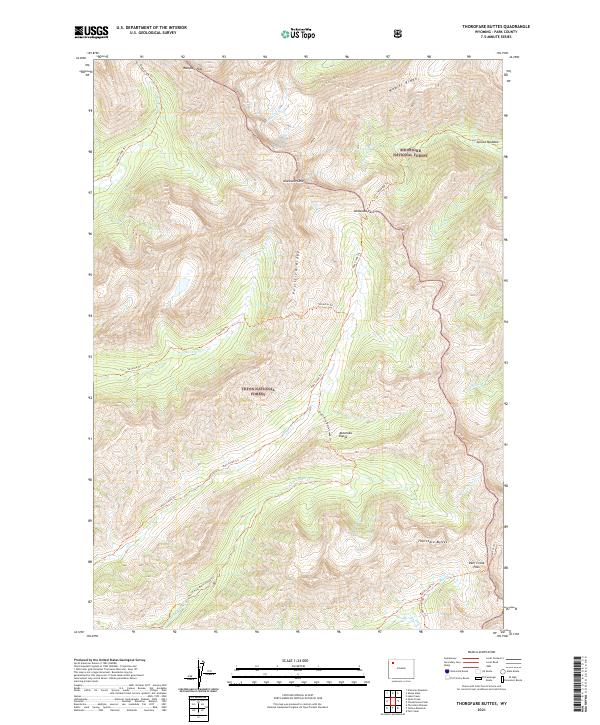
2021 Map of Thorofare Buttes
USGS Topo · Published 2021About this map
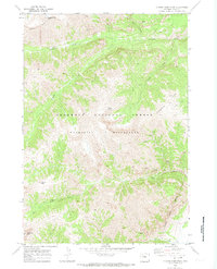
The high ridges of the Absaroka Range dominate this 2021 topographic study, highlighting the intersection of the Shoshone National Forest and Teton National Forest. The landscape is defined by its significant passes and dramatic elevations, including the landmark Thorofare Buttes and the prominent Ishawooa Cone. A network of backcountry routes, such as the Pass Creek Trl and Silvertip Trl, provides the only passage through this wilderness, connecting drainage basins like Ishawooa Cr and Silvertip Cr. The map captures a high-country environment where the geological spine of Petrified Ridge and Wapiti Ridge dictates the flow of water into the Borner Fork and North Fork Butte Cr. This data is essential for understanding the remote boundary zones between national forests and the preserved natural corridors used by travelers crossing Ishawooa Pass and Deer Creek Pass.
Find a feature on this map
33 named features on this map. Tap any name to fly to it.
Don’t see what you’re looking for? This feature index may not catch every label — zoom into the map to look around manually.
Map Details
Editions of this 2021 Thorofare Buttes Map
This is the sole edition of this map. No revisions or reprints were ever made.
Other maps of this area

1893 · Ishawooa
USGS Topo · 1:125,000

1895 · Ishawooa
USGS Topo · 1:125,000

1899 · Ishawooa
USGS Topo · 1:125,000

1955 · Cody
USGS Topo · 1:250,000

1958 · Cody
USGS Topo · 1:250,000

1962 · Cody
USGS Topo · 1:250,000
1970 · Sheep Mesa
USGS Topo · 1:24,000
1970 · Fall Creek
USGS Topo · 1:24,000
1970 · Yellow Mountain
USGS Topo · 1:24,000
1970 · Clouds Home Peak
USGS Topo · 1:24,000