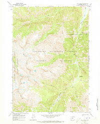
1970 Map of Fall Creek
USGS Topo · Published 1973About this map
The Stinkingwater Mining Region highlights a legacy of resource extraction within the high-elevation backcountry of northwestern Wyoming. This 1970 field-checked survey reveals a landscape where the South Fork Shoshone River carves through the Shoshone National Forest, acting as a primary corridor for both water and travel. The map illustrates a transitional zone where the Washakie Wilderness and Teton Wilderness meet, marked by an indefinite Wilderness Boundary.
Find a feature on this map
20 named features on this map. Tap any name to fly to it.
Don’t see what you’re looking for? This feature index may not catch every label — zoom into the map to look around manually.
Map Details
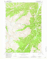
Editions of this 1970 Fall Creek Map
2 editions found
Other maps of this area

1893 · Ishawooa
USGS Topo · 1:125,000

1895 · Ishawooa
USGS Topo · 1:125,000

1899 · Ishawooa
USGS Topo · 1:125,000

1905 · Younts Peak
USGS Topo · 1:125,000

1907 · Younts Peak
USGS Topo · 1:125,000

1955 · Cody
USGS Topo · 1:250,000

1955 · Thermopolis
USGS Topo · 1:250,000

1956 · Emerald Lake
USGS Topo · 1:24,000

1958 · Cody
USGS Topo · 1:250,000

1958 · Thermopolis
USGS Topo · 1:250,000