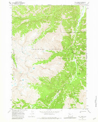
1970 Map of Fall Creek
USGS Topo · Published 1981About this map
Washakie Wilderness and Teton Wilderness meet in this high-elevation landscape surveyed in 1969. The topography is defined by the headwaters of the South Fork Shoshone River, where steep drainages like Fall Creek and Silver Creek carve through the Shoshone National Forest. This remote backcountry area is characterized by high peaks such as Ash Mountain and the presence of the Stinkingwater Mining Region, located near Needle Creek.
Find a feature on this map
20 named features on this map. Tap any name to fly to it.
Don’t see what you’re looking for? This feature index may not catch every label — zoom into the map to look around manually.
Map Details
Editions of this 1970 Fall Creek Map
2 editions found
Other maps of this area

1893 · Ishawooa
USGS Topo · 1:125,000

1895 · Ishawooa
USGS Topo · 1:125,000

1899 · Ishawooa
USGS Topo · 1:125,000

1905 · Younts Peak
USGS Topo · 1:125,000

1907 · Younts Peak
USGS Topo · 1:125,000

1955 · Cody
USGS Topo · 1:250,000

1955 · Thermopolis
USGS Topo · 1:250,000

1956 · Emerald Lake
USGS Topo · 1:24,000

1958 · Cody
USGS Topo · 1:250,000

1958 · Thermopolis
USGS Topo · 1:250,000