
1966 Map of Thoroughfare Gap
USGS Topo · Published 1969About this map
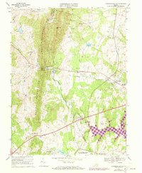
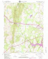
The Bull Run Mountains and Pond Mountains form a dramatic natural wall across this mid-1960s landscape, pierced only by the historic Thoroughfare Gap. This pass serves as the primary corridor for both the Southern railroad and the modern highway, connecting the rolling terrain of Fauquier County with the developing plains of Prince William County. Near the gap, the landmark Beverley Mill sits adjacent to the rails, marking a site of long-standing industrial importance.
Find a feature on this map
53 named features on this map. Tap any name to fly to it.
Don’t see what you’re looking for? This feature index may not catch every label — zoom into the map to look around manually.
Map Details
Editions of this 1966 Thoroughfare Gap Map
3 editions found
Other maps of this area

1894 · Warrenton
USGS Topo · 1:125,000

1894 · Warrenton
USGS Topo · 1:62,500

1927 · Remington
USGS Topo · 1:48,000

1930 · Warrenton
USGS Topo · 1:62,500

1933 · Middleburg
USGS Topo · 1:62,500

1943 · Catlett
USGS Topo · 1:62,500

1943 · Arcola
USGS Topo · 1:24,000

1943 · Thorofare Gap
USGS Topo · 1:24,000

1943 · Marshall
USGS Topo · 1:24,000

1943 · Rectortown
USGS Topo · 1:24,000