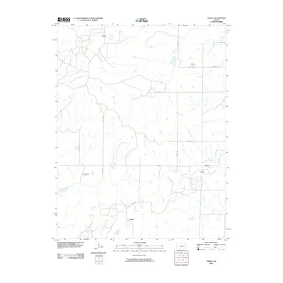
2009 Map of Thrall
USGS Topo · Published 2009About this map
Browning Oil Field and the Zimmermann Oil Field anchor this 2009 survey of Greenwood County, Kansas, where the prairie landscape is defined by the lasting imprint of the petroleum industry. Small settlements like Thrall and Burkett are interconnected by a grid of township roads, including Thrall Rd and Madison Ave, while the North Branch Verdigris River and its tributaries—Bernard Branch and Slate Creek—drain the rolling terrain. The map offers a clear view of the rural infrastructure of the early 21st century, from the Burkett Oil Field to the solitary Andrew Cemetery. This topography reveals how long-established resource extraction continues to coexist with traditional agricultural land patterns in the Flint Hills region.
Find a feature on this map
23 named features on this map. Tap any name to fly to it.
Don’t see what you’re looking for? This feature index may not catch every label — zoom into the map to look around manually.
Map Details
Editions of this 2009 Thrall Map
This is the sole edition of this map. No revisions or reprints were ever made.
Other maps of this area

1885 · Eureka
USGS Topo · 1:125,000

1888 · Emporia
USGS Topo · 1:125,000

1888 · Eureka
USGS Topo · 1:125,000

1894 · Emporia
USGS Topo · 1:125,000

1894 · Eureka
USGS Topo · 1:125,000

1955 · Wichita
USGS Topo · 1:250,000

1955 · Hutchinson
USGS Topo · 1:250,000

1958 · Wichita
USGS Topo · 1:250,000

1959 · Hutchinson
USGS Topo · 1:250,000

1967 · Madison SW
USGS Topo · 1:24,000