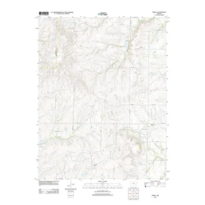
2012 Map of Thrall
USGS Topo · Published 2012About this map
The oil-producing landscape of northern Greenwood County is clearly defined by the presence of the Browning Oil Field, Zimmermann Oil Field, and Burkett Oil Field. These industrial sites are set against a backdrop of traditional Kansas prairie drainage systems, where the N Br Verdigris River and S Br Verdigris River converge with numerous tributaries like Bernard Br and Swing Cr. The small community of Thrall is situated near Sinclair Lake, while the settlement of Burkett lies further east near the banks of Indian Cr.
Find a feature on this map
33 named features on this map. Tap any name to fly to it.
Don’t see what you’re looking for? This feature index may not catch every label — zoom into the map to look around manually.
Map Details
Editions of this 2012 Thrall Map
This is the sole edition of this map. No revisions or reprints were ever made.
Other maps of this area

1885 · Eureka
USGS Topo · 1:125,000

1888 · Emporia
USGS Topo · 1:125,000

1888 · Eureka
USGS Topo · 1:125,000

1894 · Emporia
USGS Topo · 1:125,000

1894 · Eureka
USGS Topo · 1:125,000

1955 · Wichita
USGS Topo · 1:250,000

1955 · Hutchinson
USGS Topo · 1:250,000

1958 · Wichita
USGS Topo · 1:250,000

1959 · Hutchinson
USGS Topo · 1:250,000

1967 · Madison SW
USGS Topo · 1:24,000