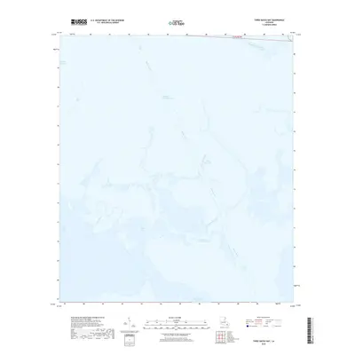
2018 Map of Three Bayou Bay
USGS Topo · Published 2018About this map
The marshlands of Jefferson Parish dominate this coastal survey, where the intricate hydrology of the Mississippi River delta is on full display. Central to the map's character is the Barataria Bay Waterway, a straight navigational channel that cuts through the winding natural paths of Bayou Cutler and Bayou Rigolettes. This area represents a landscape defined by water, where traditional bayou systems meet larger basins like Long Bay and Turtle Bay.
Find a feature on this map
11 named features on this map. Tap any name to fly to it.
Don’t see what you’re looking for? This feature index may not catch every label — zoom into the map to look around manually.
Map Details
Editions of this 2018 Three Bayou Bay Map
This is the sole edition of this map. No revisions or reprints were ever made.
Other maps of this area

1891 · Pointe a La Hache
USGS Topo · 1:62,500

1892 · Barataria
USGS Topo · 1:62,500

1892 · Creole
USGS Topo · 1:62,500

1892 · Pointe a La Hache
USGS Topo · 1:62,500

1893 · Fort Livingston
USGS Topo · 1:62,500

1935 · Wilkinson Bay
USGS Topo · 1:31,680

1939 · Pointe a La Hache
USGS Topo · 1:62,500

1941 · Barataria
USGS Topo · 1:62,500

1944 · Barataria
USGS Topo · 1:62,500
1944 · Pointe a La Hache
USGS Topo · 1:62,500