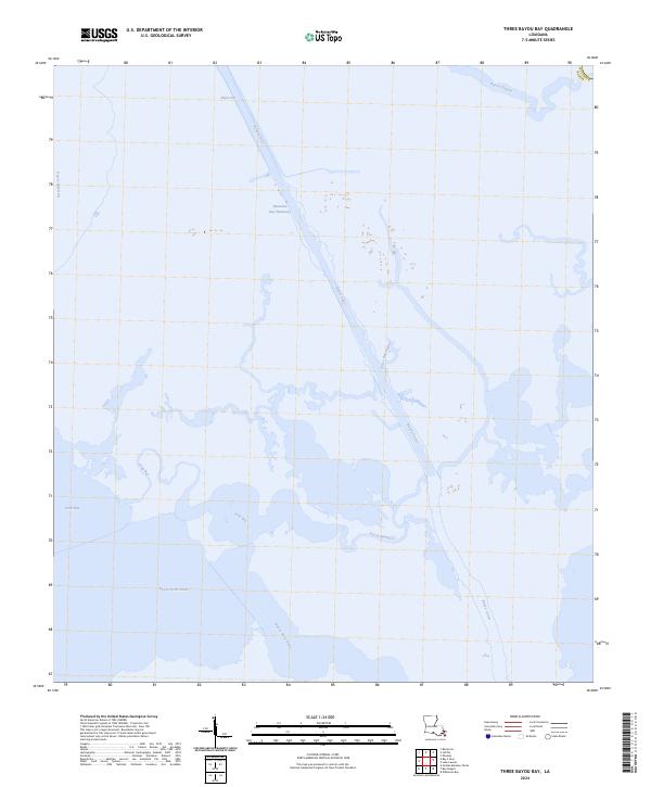
2024 Map of Three Bayou Bay
USGS Topo · Published 2024About this map
Barataria Bay Waterway bisects this marshland landscape in Jefferson Parish, illustrating the modern maritime infrastructure of the Louisiana coast. The map reveals an intricate network of natural bayous and engineered cuts, where Bayou Cutler winds through the wetlands alongside straightened passages like Dupre Cut. Large open water bodies including Turtle Bay, Long Bay, and Three Bayou Bay dominate the southern half of the quadrangle, connected by tidal arteries such as Bayou Maurice and Bayou Saint Denis. This 2024 survey documents the contemporary state of these delicate coastal estuaries, tracing the complex relationship between natural watercourses and the navigational channels required for commercial waterway access. The absence of roads or permanent settlements emphasizes the aquatic nature of this region, where geography is defined by the shifting boundaries of marsh and bay.
Find a feature on this map
12 named features on this map. Tap any name to fly to it.
Don’t see what you’re looking for? This feature index may not catch every label — zoom into the map to look around manually.
Map Details
Editions of this 2024 Three Bayou Bay Map
This is the sole edition of this map. No revisions or reprints were ever made.
Other maps of this area

1891 · Pointe a La Hache
USGS Topo · 1:62,500

1892 · Barataria
USGS Topo · 1:62,500

1892 · Creole
USGS Topo · 1:62,500

1892 · Pointe a La Hache
USGS Topo · 1:62,500

1893 · Fort Livingston
USGS Topo · 1:62,500

1935 · Wilkinson Bay
USGS Topo · 1:31,680

1939 · Pointe a La Hache
USGS Topo · 1:62,500

1941 · Barataria
USGS Topo · 1:62,500

1944 · Barataria
USGS Topo · 1:62,500
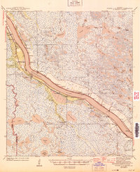
1944 · Pointe a La Hache
USGS Topo · 1:62,500