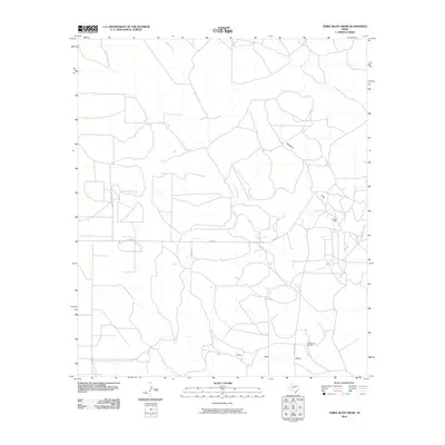
2010 Map of Three Bluff Draw
USGS Topo · Published 2010About this map
Lone Joe Ranch and the industrial activity of the Cope Oil Field characterize this portion of Tom Green County. The landscape is defined by a network of seasonal drainage patterns, most notably the Three Bluff Draw and Hackberry Draw, which channel toward the Middle Concho River in the southeast. This survey provides a clear look at the rural infrastructure supporting West Texas ranching and petroleum extraction, showing how named access routes like Holt Ranch Rd and Arroyo Rd navigate the terrain between watercourses like Indian Creek and Corral Creek. The presence of Fm 2600 serves as the primary east-west corridor, connecting remote ranch sites and energy operations to the wider region.
Find a feature on this map
12 named features on this map. Tap any name to fly to it.
Don’t see what you’re looking for? This feature index may not catch every label — zoom into the map to look around manually.
Map Details
Editions of this 2010 Three Bluff Draw Map
This is the sole edition of this map. No revisions or reprints were ever made.
Other maps of this area

1921 · Ketchum Mountain
USGS Topo · 1:62,500

1923 · Ketchum Mountain
USGS Topo · 1:62,500

1954 · San Angelo
USGS Topo · 1:250,000

1958 · San Angelo
USGS Topo · 1:250,000

1965 · San Angelo
USGS Topo · 1:250,000

1970 · South Mustang Draw NE
USGS Topo · 1:24,000

1970 · Moore Hill
USGS Topo · 1:24,000

1973 · Hay Hollow
USGS Topo · 1:24,000

1973 · Three Bluff Draw
USGS Topo · 1:24,000

1973 · Three Bluff Draw NE
USGS Topo · 1:24,000