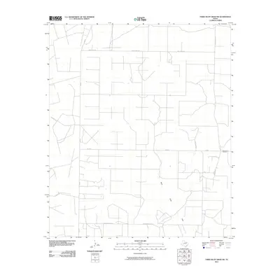
2010 Map of Three Bluff Draw SW
USGS Topo · Published 2010About this map
Reagan View Cemetery serves as a lone local landmark in this corner of Reagan County, situated just east of where Von Gonten Rd meets FM 2600. The landscape is defined by a grid of rural routes and the intermittent path of North Creek Draw, which cuts through the central terrain. While largely open land, the area is crisscrossed by specialized infrastructure such as Radio Tower Rd, Strawberry Patch Rd, and Ricker Rd. This U.S. Geological Survey sheet captures the quiet, systematic layout of West Texas ranch or oil field access roads in the early twenty-first century, providing a clear view of the transport network including FM 33 N and Childress Rd.
Find a feature on this map
9 named features on this map. Tap any name to fly to it.
Don’t see what you’re looking for? This feature index may not catch every label — zoom into the map to look around manually.
Map Details
Editions of this 2010 Three Bluff Draw SW Map
This is the sole edition of this map. No revisions or reprints were ever made.
Other maps of this area

1928 · Rankin
USGS Topo · 1:125,000

1954 · San Angelo
USGS Topo · 1:250,000

1958 · San Angelo
USGS Topo · 1:250,000

1965 · San Angelo
USGS Topo · 1:250,000

1970 · South Mustang Draw NE
USGS Topo · 1:24,000

1970 · Moore Hill
USGS Topo · 1:24,000

1970 · Stiles
USGS Topo · 1:24,000

1973 · Three Bluff Draw
USGS Topo · 1:24,000

1973 · Three Bluff Draw NE
USGS Topo · 1:24,000

1973 · Saint Lawrence SE
USGS Topo · 1:24,000