
1973 Map of Saint Lawrence SE
USGS Topo · Published 1976About this map
Oil production dominates the landscape of Reagan County in the early 1970s, as shown by the extensive Oil Field and an intricate network of service roads and wells. The terrain is characterized by a significant natural Depression that marks the central portion of the sheet. Industrial activity is further evidenced by a prominent Pipeline cutting across the northeastern corner and several Gravel Pits concentrated along the roadways. These features suggest an economy heavily reliant on resource extraction during this era of West Texas development. Small geographic markers such as Crossroads and Ricker serve as primary navigational points in a region otherwise defined by its industrial infrastructure rather than dense residential settlement.
Find a feature on this map
6 named features on this map. Tap any name to fly to it.
Don’t see what you’re looking for? This feature index may not catch every label — zoom into the map to look around manually.
Map Details
Editions of this 1973 Saint Lawrence SE Map
This is the sole edition of this map. No revisions or reprints were ever made.
Other maps of this area

1928 · Rankin
USGS Topo · 1:125,000

1954 · San Angelo
USGS Topo · 1:250,000

1958 · San Angelo
USGS Topo · 1:250,000

1965 · San Angelo
USGS Topo · 1:250,000

1970 · Stiles NW
USGS Topo · 1:24,000

1970 · Moore Hill
USGS Topo · 1:24,000

1970 · Stiles
USGS Topo · 1:24,000

1973 · Bigby Corner
USGS Topo · 1:24,000
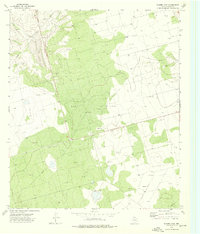
1973 · Slager Lake
USGS Topo · 1:24,000
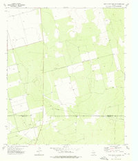
1973 · Three Bluff Draw NW
USGS Topo · 1:24,000