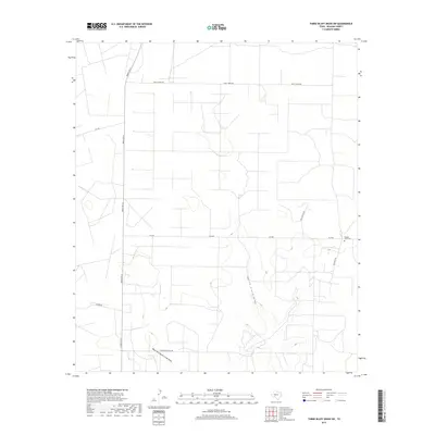
2019 Map of Three Bluff Draw SW
USGS Topo · Published 2019About this map
North Creek Draw and its tributary, the West Fork North Creek Draw, carve subtle drainage patterns across this Reagan County landscape. The area is characterized by a sparse grid of rural roads and ranching infrastructure, including Ranch Rd 33 and Radio Tower Rd. A significant point for local history and genealogy is the Reagan View Cem, located in the eastern portion of the survey near Childress Rd. The presence of Strawberry Patch Rd and Von Gonten Rd suggests the historical footprint of specific families and agricultural activities in this part of West Texas. Modern connectivity is provided by several farm-to-market routes, most notably FM 2600, which bisects the quadrangle from east to west.
Find a feature on this map
11 named features on this map. Tap any name to fly to it.
Don’t see what you’re looking for? This feature index may not catch every label — zoom into the map to look around manually.
Map Details
Editions of this 2019 Three Bluff Draw SW Map
This is the sole edition of this map. No revisions or reprints were ever made.
Other maps of this area

1928 · Rankin
USGS Topo · 1:125,000

1954 · San Angelo
USGS Topo · 1:250,000

1958 · San Angelo
USGS Topo · 1:250,000

1965 · San Angelo
USGS Topo · 1:250,000

1970 · South Mustang Draw NE
USGS Topo · 1:24,000

1970 · Moore Hill
USGS Topo · 1:24,000

1970 · Stiles
USGS Topo · 1:24,000

1973 · Three Bluff Draw
USGS Topo · 1:24,000

1973 · Three Bluff Draw NE
USGS Topo · 1:24,000

1973 · Saint Lawrence SE
USGS Topo · 1:24,000