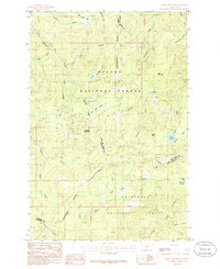
1985 Map of Three Brothers
USGS Topo · Published 1986About this map
The Continental Divide serves as the central spine of this mid-1980s mountain survey, marking the boundary between the Helena National Forest and the Deer Lodge National Forest. This high-elevation terrain is defined by a complex network of drainages and prominent summits, including Jericho Mountain and Luttrell Peak. The landscape reflects a history of small-scale resource extraction, evidenced by scattered Mine Shafts located near the headwaters of Minnehaha Creek and Tenmile Creek.
Find a feature on this map
43 named features on this map. Tap any name to fly to it.
Don’t see what you’re looking for? This feature index may not catch every label — zoom into the map to look around manually.
Map Details
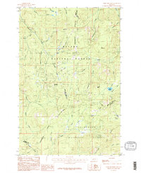
Editions of this 1985 Three Brothers Map
2 editions found
Other maps of this area

1889 · Helena
USGS Topo · 1:250,000

1893 · Helena
USGS Topo · 1:250,000

1899 · Boulder
USGS Topo · 1:125,000

1899 · Helena
USGS Topo · 1:250,000

1903 · Helena
USGS Topo · 1:250,000

1947 · Butte
USGS Topo · 1:250,000

1950 · Jefferson City
USGS Topo · 1:62,500

1950 · Helena
USGS Topo · 1:62,500

1954 · Basin
USGS Topo · 1:62,500

1958 · Butte
USGS Topo · 1:250,000