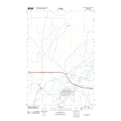
2011 Map of Three Forks
USGS Topo · Published 2011About this map
The headwaters of the Missouri River take shape at the convergence of three legendary waterways on this 2011 survey of Gallatin County. The Jefferson River, Madison River, and Gallatin River (just off-sheet) unite here, creating a complex hydrology that has defined the growth of Three Forks for over a century. The town is depicted with a detailed street grid including W Jefferson St and W Front St, positioned as a historic junction where rail and river networks meet. Irrigation infrastructure like the Darlington Ditch and Francis Walbert Ditch cut through the landscape, illustrating the agricultural backbone of the Gallatin Valley.
Find a feature on this map
48 named features on this map. Tap any name to fly to it.
Don’t see what you’re looking for? This feature index may not catch every label — zoom into the map to look around manually.
Map Details
Editions of this 2011 Three Forks Map
This is the sole edition of this map. No revisions or reprints were ever made.
Other maps of this area

1886 · Fort Logan
USGS Topo · 1:250,000

1888 · Three Forks
USGS Topo · 1:250,000

1894 · Three Forks
USGS Topo · 1:250,000

1895 · Three Forks
USGS Topo · 1:250,000

1947 · Bozeman
USGS Topo · 1:250,000

1948 · Bozeman
USGS Topo · 1:250,000

1948 · White Sulphur Springs
USGS Topo · 1:250,000

1949 · Radersburg
USGS Topo · 1:62,500

1949 · Manhattan
USGS Topo · 1:62,500

1949 · Toston
USGS Topo · 1:62,500
Featured Places
- Three Forks, MT
- Murphys Trailer Court, Three Forks
- Copper City, MT
- Three Forks Junction, MT
- Gallatin County, MT