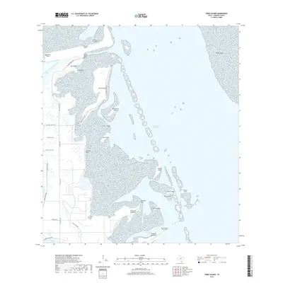
2019 Map of Three Islands
USGS Topo · Published 2019About this map
Rincon Buena Vista and the Rancho Buena Vista Airport mark the southern edge of this coastal survey, where the Texas mainland meets the complex wetlands of Laguna Atascosa. The landscape is dominated by a chain of islands and peninsulas, including the namesake Three Islands, Medio Island, and Primero Island, which separate the shallow waters of El Realito Bay from the primary transit of the Intracoastal Waterway. This environment is shaped by natural and engineered hydrology, featuring the Arroyo Colorado Cutoff and several named resacas and cayos.
Find a feature on this map
36 named features on this map. Tap any name to fly to it.
Don’t see what you’re looking for? This feature index may not catch every label — zoom into the map to look around manually.
Map Details
Editions of this 2019 Three Islands Map
This is the sole edition of this map. No revisions or reprints were ever made.
Other maps of this area

1929 · La Coma
USGS Topo · 1:24,000

1929 · Buena Vista
USGS Topo · 1:24,000

1930 · Padre Island No. 1
USGS Topo · 1:24,000

1930 · La Leona
USGS Topo · 1:24,000

1930 · Padre Island No. 2
USGS Topo · 1:24,000

1930 · Laguna Atascosa
USGS Topo · 1:24,000

1934 · La Coma
USGS Topo · 1:31,680

1935 · Padre Island No 1
USGS Topo · 1:31,680

1935 · Padre Island NO. 2
USGS Topo · 1:31,680

1935 · Buena Vista
USGS Topo · 1:31,680