Loading...
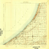
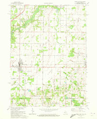
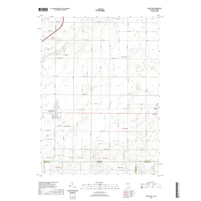
Loading map...1930 Map of Three Oaks
USGS Topo · Published 1930About this map
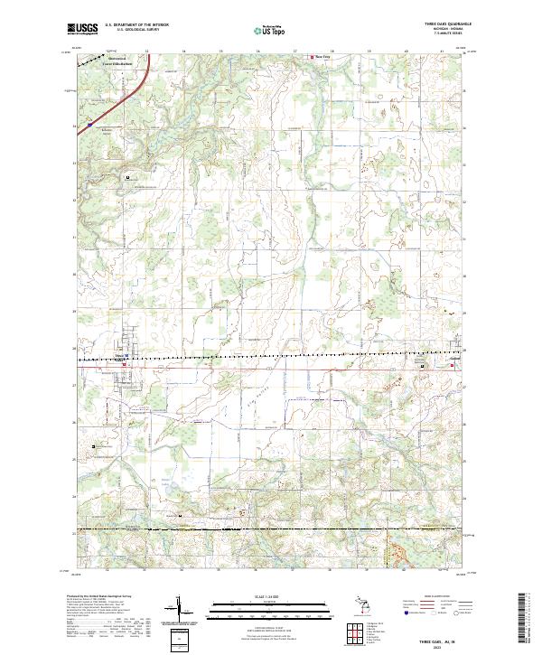
The Lake Michigan shoreline of Berrien County anchors this 1930 edition, showing the complex of dunes and seasonal beach settlements before mid-century expansion. Prominent terrain features like Great Warren Dune and Mt Randall define the coastal topography, while the Pere Marquette and Michigan Central railroads drive the inland economy. The settlement pattern is particularly dense along the coast, featuring clusters like Bethany Beach and Union Pier, transitioning into a rich agricultural landscape to the east.
Find a feature on this map
77 named features on this map. Tap any name to fly to it.
Don’t see what you’re looking for? This feature index may not catch every label — zoom into the map to look around manually.
Map Details
Date Portrayed1930
Date Published1930
PublisherU.S. Geological Survey
Map TypeTopographic
Scale1:62,500
Physical Dimensions20.9 x 20.6 inches
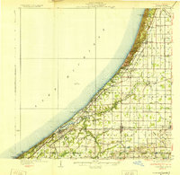
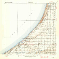
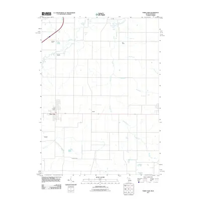
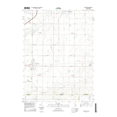
Editions of this 1930 Three Oaks Map
3 editions found
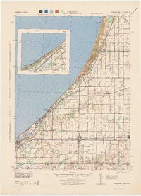
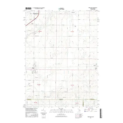
Historical Maps of Bridgman Through Time
8 maps found
Featured Locations
- New Buffalo, MI
- Bridgman, MI
- Three Oaks, Three Oaks Township
- Galien, Galien Township
- Sawyer, Chikaming Township
Source Details
SourceU.S. Geological Survey
CopyrightPublic Domain