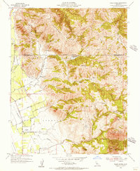
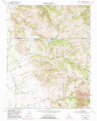
1954 Map of Three Sisters
USGS Topo · Published 1956About this map
Ausaymas Ridge and Dunne Ridge dominate the landscape of the northern Diablo Range, while the agricultural character of the Hollister Valley spreads across the southwest. In the mid-1950s, the area's development centered on established ranching estates such as Hawkins Ranch, Garcia Rancho, and Sparling Ranch. The map captures the complex system of arroyos and canyons that define the local geography, including the Arroyo de las Viboras and the rugged peaks of the Three Sisters. Local education is anchored by the Fairview Sch, situated near the junction of Las Viboras Road and O'Rosa Morada Road. This survey documents a transitional era for the region, noting numerous water management features like the Hawkins Lake Spillway 651 and various unnamed reservoirs serving the surrounding foothills.
Find a feature on this map
50 named features on this map. Tap any name to fly to it.
Don’t see what you’re looking for? This feature index may not catch every label — zoom into the map to look around manually.
Map Details
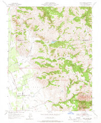
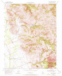
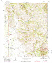
Editions of this 1954 Three Sisters Map
5 editions found
Other maps of this area

1919 · Hollister
USGS Topo · 1:48,000

1920 · Pacheco Pass
USGS Topo · 1:62,500

1921 · Gilroy Hot Springs
USGS Topo · 1:62,500

1921 · Hollister
USGS Topo · 1:62,500

1922 · Quien Sabe
USGS Topo · 1:62,500

1923 · Hollister
USGS Topo · 1:62,500

1939 · Gilroy Hot Springs
USGS Topo · 1:62,500

1940 · Gilroy Hot Springs
USGS Topo · 1:62,500

1940 · Hollister
USGS Topo · 1:62,500

1940 · Pacheco Pass
USGS Topo · 1:62,500