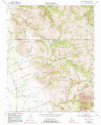
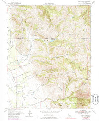
1954 Map of Three Sisters
USGS Topo · Published 1991About this map
The eastern edges of the San Joaquin Valley meet the rising slopes of the Diablo Range in this mid-century topographic record. Agricultural development is evident along the valley floor, where Fairview Sch serves the local farming community near a grid of established routes including Spring Grove Road and Fallon Road. The landscape transitions abruptly into high ridges like Dunne Ridge and Chimney Ridge, characterized by a series of private ranch holdings that define the local geography.
Find a feature on this map
44 named features on this map. Tap any name to fly to it.
Don’t see what you’re looking for? This feature index may not catch every label — zoom into the map to look around manually.
Map Details
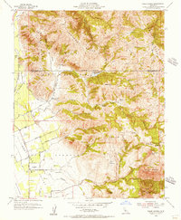
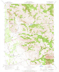
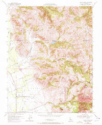
Editions of this 1954 Three Sisters Map
5 editions found
Other maps of this area

1919 · Hollister
USGS Topo · 1:48,000

1920 · Pacheco Pass
USGS Topo · 1:62,500

1921 · Gilroy Hot Springs
USGS Topo · 1:62,500

1921 · Hollister
USGS Topo · 1:62,500

1922 · Quien Sabe
USGS Topo · 1:62,500

1923 · Hollister
USGS Topo · 1:62,500

1939 · Gilroy Hot Springs
USGS Topo · 1:62,500

1940 · Gilroy Hot Springs
USGS Topo · 1:62,500

1940 · Hollister
USGS Topo · 1:62,500

1940 · Pacheco Pass
USGS Topo · 1:62,500