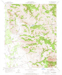
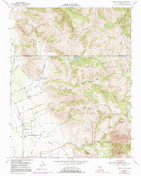
1954 Map of Three Sisters
USGS Topo · Published 1966About this map
Settled family ranches and rugged California ridge lines define this 1954 topographical study of the border between Santa Clara and San Benito counties. The landscape is marked by the expansive Ausaymas y San Felipe and Santa Ana y Quien Sabe land grants, reflecting the deep Spanish and Mexican heritage of the region. Local education and community life are anchored at the Fairview Sch in the Hollister Valley, where a network of agricultural roads like Spring Grove Road and Orchard Road connect scattered family operations, including the Hawkins Ranch and Garcia Rancho.
Find a feature on this map
41 named features on this map. Tap any name to fly to it.
Don’t see what you’re looking for? This feature index may not catch every label — zoom into the map to look around manually.
Map Details
Editions of this 1954 Three Sisters Map
5 editions found
Other maps of this area

1919 · Hollister
USGS Topo · 1:48,000

1920 · Pacheco Pass
USGS Topo · 1:62,500

1921 · Gilroy Hot Springs
USGS Topo · 1:62,500

1921 · Hollister
USGS Topo · 1:62,500

1922 · Quien Sabe
USGS Topo · 1:62,500

1923 · Hollister
USGS Topo · 1:62,500

1939 · Gilroy Hot Springs
USGS Topo · 1:62,500

1940 · Gilroy Hot Springs
USGS Topo · 1:62,500

1940 · Hollister
USGS Topo · 1:62,500

1940 · Pacheco Pass
USGS Topo · 1:62,500