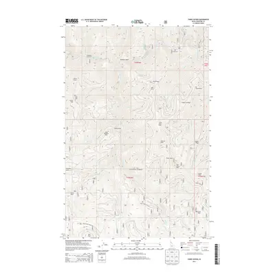
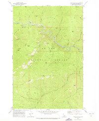
2013 Map of Three Sisters
USGS Topo · Published 2013About this map
The St. Joe National Forest defines this high-elevation Idaho landscape, where the Saint Joe River cuts through the northern reaches of the quadrangle. Significant topographical features like Three Sisters, Mt Chenoweth, and Whistling Peak dominate the skyline, separated by steep drainages such as Skookum Canyon and Trickle Gulch. The map illustrates a region primarily managed for timber and recreation, with established access points like Packsaddle Campground and Turner Flat Campground situated along the river. A network of forest service routes, including the Bird Creek Rd and Avery-Timber-Creek Rd, provides the essential infrastructure for accessing the Forest Cabin and various lookout points like Shoepack Point. This 2013 survey serves as a detailed record of the ridgelines and watercourses that shape this part of Shoshone County.
Find a feature on this map
48 named features on this map. Tap any name to fly to it.
Don’t see what you’re looking for? This feature index may not catch every label — zoom into the map to look around manually.
Map Details
Editions of this 2013 Three Sisters Map
This is the sole edition of this map. No revisions or reprints were ever made.
Other maps of this area

1914 · Avery
USGS Topo · 1:125,000

1917 · Avery
USGS Topo · 1:125,000

1956 · Saltese
USGS Topo · 1:62,500

1956 · Wallace
USGS Topo · 1:250,000

1957 · Wallace
USGS Topo · 1:62,500

1960 · Wallace
USGS Topo · 1:250,000
1969 · Bathtub Mtn
USGS Topo · 1:24,000
1969 · Montana Peak
USGS Topo · 1:24,000
1969 · Monumental Buttes
USGS Topo · 1:24,000
1969 · Thor Mountain
USGS Topo · 1:24,000