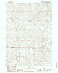
1984 Map of Threemile Creek Reservoir
USGS Topo · Published 1984About this map
The Belle Fourche River winds through this section of Campbell County, serving as the primary drainage for a network of intermittent streams and managed water resources. In the mid-1980s, the landscape was defined by its water management systems, including the Threemile Creek Reservoir and the Lower Threemile Reservoir. These features, along with Little Wild Horse Reservoir, indicate the importance of livestock watering and water retention in this high-plains environment. The map provides a look at the intricate topography surrounding Threemile Creek and Horse Creek, illustrating the natural contours and the sparsely populated ranching territory characteristic of north-central Wyoming. Small unimproved roads and trails connect these remote water points, reflecting the utilitarian infrastructure required for land management and cattle operations during this era.
Find a feature on this map
7 named features on this map. Tap any name to fly to it.
Don’t see what you’re looking for? This feature index may not catch every label — zoom into the map to look around manually.
Map Details
Editions of this 1984 Threemile Creek Reservoir Map
2 editions found
Other maps of this area

1954 · Gillette
USGS Topo · 1:250,000

1955 · Newcastle
USGS Topo · 1:250,000

1955 · Gillette
USGS Topo · 1:250,000

1958 · Gillette
USGS Topo · 1:250,000

1958 · Newcastle
USGS Topo · 1:250,000

1959 · North Star School
USGS Topo · 1:62,500

1962 · Gillette
USGS Topo · 1:250,000

1971 · Scaper Reservoir
USGS Topo · 1:24,000

1971 · The Gap SW
USGS Topo · 1:24,000

1971 · Reno Junction
USGS Topo · 1:24,000