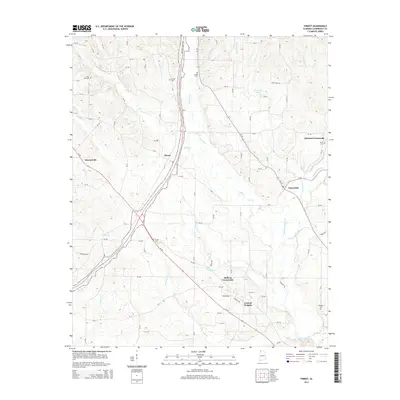
2014 Map of Threet
USGS Topo · Published 2014About this map
The Natchez Trace Pky cuts a modern path through this northern Alabama landscape, running parallel to the older road networks that connect rural communities like Stewartville and Cloverdale. The map reveals a high density of family and community burial sites, including Pine Hill Cem, Austin Cem, and Paulk Cem, which serve as vital markers for genealogical research in Lauderdale County. The drainage patterns of Cypress Cr and its many tributaries, such as Threet Cr and Burcham Cr, dictate the placement of local roads and the dispersed settlement pattern of crossroads communities like Sullivan Crossroads and Johnson Crossroads. To the south, the terrain descends toward Central Heights, showing the gradual transition of the upland creek valleys as they approach the larger Cypress Creek basin.
Find a feature on this map
91 named features on this map. Tap any name to fly to it.
Don’t see what you’re looking for? This feature index may not catch every label — zoom into the map to look around manually.
Map Details
Editions of this 2014 Threet Map
This is the sole edition of this map. No revisions or reprints were ever made.
Other maps of this area

1905 · Waynesboro
USGS Topo · 1:125,000

1914 · Muscle Shoals
USGS Topo · 1:48,000

1916 · Muscle Shoals
USGS Topo · 1:62,500

1924 · Gravelly Springs
USGS Topo · 1:48,000

1926 · Gravelly Springs
USGS Topo · 1:62,500

1935 · Cherokee
USGS Topo · 1:24,000

1935 · Wright
USGS Topo · 1:24,000

1936 · Light
USGS Topo · 1:24,000

1936 · Threet
USGS Topo · 1:24,000

1936 · Cypress Inn
USGS Topo · 1:24,000