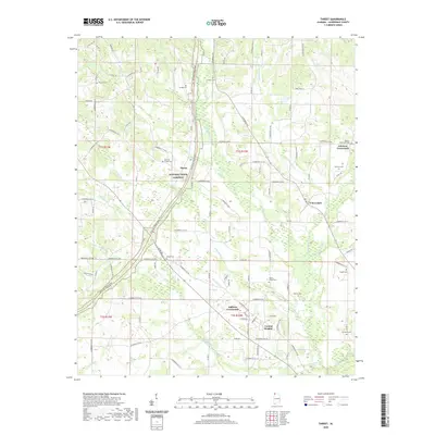
2020 Map of Threet
USGS Topo · Published 2020About this map
Natchez Trace Parkway angles through this portion of Lauderdale County, tracing a modern corridor over an ancient path of travel. The landscape is defined by the complex drainage of Cypress Creek, where numerous tributaries like Hurricane Cr and N Fork Cypress Cr carve through the terrain. Small settlements and rural intersections such as Cloverdale, Sullivan Crossroads, and Central Heights serve as local anchors, connected by a network of county roads that navigate the varying elevations.
Find a feature on this map
108 named features on this map. Tap any name to fly to it.
Don’t see what you’re looking for? This feature index may not catch every label — zoom into the map to look around manually.
Map Details
Editions of this 2020 Threet Map
This is the sole edition of this map. No revisions or reprints were ever made.
Other maps of this area

1905 · Waynesboro
USGS Topo · 1:125,000

1914 · Muscle Shoals
USGS Topo · 1:48,000

1916 · Muscle Shoals
USGS Topo · 1:62,500

1924 · Gravelly Springs
USGS Topo · 1:48,000

1926 · Gravelly Springs
USGS Topo · 1:62,500

1935 · Cherokee
USGS Topo · 1:24,000

1935 · Wright
USGS Topo · 1:24,000

1936 · Light
USGS Topo · 1:24,000

1936 · Threet
USGS Topo · 1:24,000

1936 · Cypress Inn
USGS Topo · 1:24,000